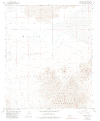
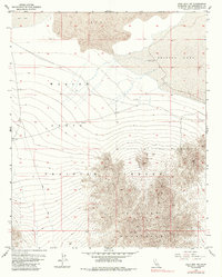
1955 Map of Lead Mountain NE
USGS Topo · Published 1985About this map
Bullion Mountains dominate the southern portion of this high-desert landscape, rising sharply from the arid basin floor. This mid-century survey shows a region deeply connected to both mineral extraction and military readiness, as evidenced by the extensive Marine Corps Training Center that spans much of the central terrain. To the south, an isolated Shaft and the America Mine indicate historical mining activity along the rocky slopes, while the northern reaches are defined by a vast field of Lava and the remnants of a Dry Lake. The lack of permanent water is a defining characteristic of the area, punctuated only by a Dry Well and the expansive, salt-crusted flats of Bristol Lake at the eastern edge. A network of primitive transport is represented by a single Jeep Trail, illustrating the remote and specialized nature of activity in this portion of San Bernardino County.
Find a feature on this map
9 named features on this map. Tap any name to fly to it.
Don’t see what you’re looking for? This feature index may not catch every label — zoom into the map to look around manually.
Map Details
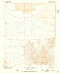
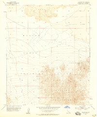
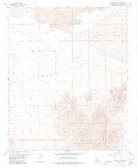
Editions of this 1955 Lead Mountain NE Map
6 editions found
Other maps of this area

1942 · Amboy
USGS Topo · 1:250,000

1943 · Amboy
USGS Topo · 1:250,000

1954 · Needles
USGS Topo · 1:250,000

1954 · Bristol Lake NW
USGS Topo · 1:24,000

1954 · Amboy Crater
USGS Topo · 1:24,000

1954 · Bagdad SW
USGS Topo · 1:24,000

1954 · Bristol Lake SW
USGS Topo · 1:24,000

1955 · Lead Mountain
USGS Topo · 1:24,000

1955 · Lead Mtn. NE
USGS Topo · 1:24,000

1955 · Lead Mountain SW
USGS Topo · 1:24,000