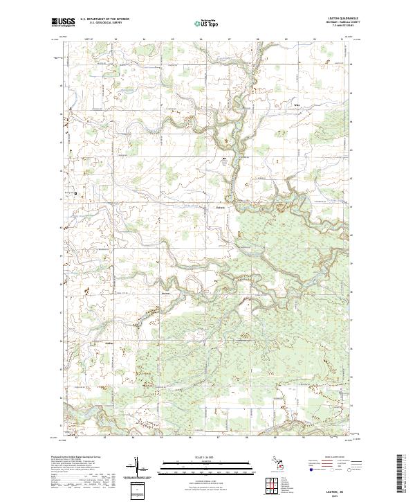
2023 Map of Leaton
USGS Topo · Published 2023About this map
The Nottawa Indian Cem stands as a significant cultural landmark in this section of central Michigan, situated north of the community of Delwin. The landscape is defined by an intricate network of agricultural and natural waterways, including McKay Drain, Spring Creek, and the North Branch Salt River, which carve through the townships of Isabella and Wise. The presence of these drainage systems alongside smaller settlements like Leaton and Wise illustrates the region's long-standing reliance on coordinated water management to support its rural character.
Find a feature on this map
55 named features on this map. Tap any name to fly to it.
Don’t see what you’re looking for? This feature index may not catch every label — zoom into the map to look around manually.
Map Details
Editions of this 2023 Leaton Map
This is the sole edition of this map. No revisions or reprints were ever made.
Other maps of this area

1916 · Mount Pleasant
USGS Topo · 1:62,500

1919 · Mount Pleasant
USGS Topo · 1:62,500

1930 · Shepherd
USGS Topo · 1:48,000

1936 · Shepherd
USGS Topo · 1:62,500

1943 · Mount Pleasant
USGS Topo · 1:62,500

1954 · Midland
USGS Topo · 1:250,000

1958 · Midland
USGS Topo · 1:250,000

1959 · Midland
USGS Topo · 1:250,000

1959 · Clare
USGS Topo · 1:62,500

1966 · Midland
USGS Topo · 1:250,000