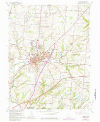
1966 Map of Lebanon
USGS Topo · Published 1984About this map
Lebanon stands as the primary hub of Warren County in this mid-century portrait, characterized by its dense civic core and radiating transport lines. The map reveals a community in transition, balancing established institutions like the Courthouse, Armory, and Oakwood High Sch against the emerging car-centric developments of the post-war era, evidenced by the Drive-in Theater and the Lebanon-Warren County Airport. The Penn Central rail line cuts through the southern landscape, passing near the industrial Gravel Pit and the community of South Lebanon.
Find a feature on this map
56 named features on this map. Tap any name to fly to it.
Don’t see what you’re looking for? This feature index may not catch every label — zoom into the map to look around manually.
Map Details
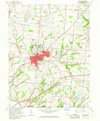
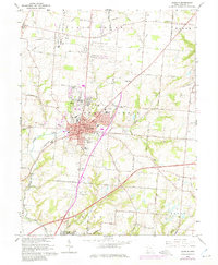
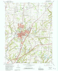
Editions of this 1966 Lebanon Map
4 editions found
Other maps of this area

1904 · Mason
USGS Topo · 1:62,500

1906 · Mason
USGS Topo · 1:62,500

1908 · Miamisburg
USGS Topo · 1:62,500

1913 · Waynesville
USGS Topo · 1:62,500

1914 · Morrow
USGS Topo · 1:62,500

1915 · Waynesville
USGS Topo · 1:62,500

1916 · Morrow
USGS Topo · 1:62,500

1951 · Franklin
USGS Topo · 1:24,000

1953 · Cincinnati
USGS Topo · 1:250,000

1955 · Monroe
USGS Topo · 1:24,000