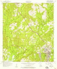
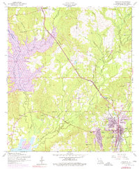
1954 Map of Leesville
USGS Topo · Published 1956About this map
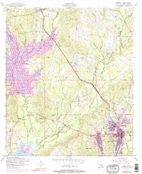
Leesville serves as the focal point of this 1950s survey, showing the town's expansion toward the west and the development of institutions such as the J B Younger Infirmary and Saint Michaels School. The landscape is defined by the heavy presence of the Kansas City Southern railroad, which runs northwest through Hawthorne toward Anacoco. Local genealogy and community life are well-documented through numerous rural landmarks, including Smith Cemetery, Kay Cemetery, and a series of neighborhood houses of worship like White Park Church and Pine Hill Church. To the west, the topography transitions into the drainage basins of West Anacoco Creek and the expansive Anacoco Lake. Several stretches of Dismantled railroad are visible, hinting at the area's changing timber or industrial transport needs during the mid-20th century.
Find a feature on this map
39 named features on this map. Tap any name to fly to it.
Don’t see what you’re looking for? This feature index may not catch every label — zoom into the map to look around manually.
Map Details
Editions of this 1954 Leesville Map
6 editions found
Other maps of this area

1941 · Leesville
USGS Topo · 1:62,500

1941 · Slagle
USGS Topo · 1:62,500

1942 · Florien
USGS Topo · 1:62,500

1942 · Kisatchie
USGS Topo · 1:62,500

1943 · Leesville
USGS Topo · 1:62,500

1943 · Kisatchie
USGS Topo · 1:62,500

1944 · Florien
USGS Topo · 1:62,500

1944 · Slagle
USGS Topo · 1:62,500

1946 · Leesville
USGS Topo · 1:62,500

1948 · Leesville
USGS Topo · 1:62,500