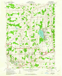
1961 Map of Leroy
USGS Topo · Published 1963About this map
Chippewa Lake serves as a primary geographical focus of this 1961 survey, bordered by the established recreational and residential communities of Chippewa Lake Park, Gloria Glens Park, and Briarwood Beach. The landscape is a mosaic of agriculture and early suburban development within the Connecticut Western Reserve, where fine red dashed lines on the sheet indicate fence and field lines visible from aerial photography. Transport and infrastructure are critical to the region's character, with the Baltimore and Ohio and the New York Chicago and St Louis Railroad cutting through the southern townships. Local history is deeply etched in the smaller settlements like Friendsville and Lafayette, supported by numerous country burial grounds such as Spitzer Cem and Lafayette Cem. The prevalence of Gas Wells across the northern half of the map reflects the era's active natural resource extraction amidst the growing educational hub at Cloverleaf High Sch.
Find a feature on this map
46 named features on this map. Tap any name to fly to it.
Don’t see what you’re looking for? This feature index may not catch every label — zoom into the map to look around manually.
Map Details
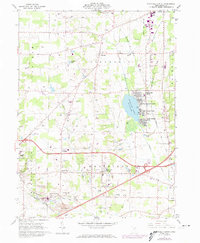
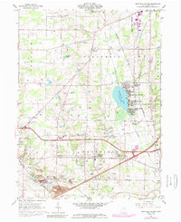
Editions of this 1961 Leroy Map
3 editions found
Other maps of this area

1901 · Wooster
USGS Topo · 1:62,500

1903 · Wooster
USGS Topo · 1:62,500

1904 · Medina
USGS Topo · 1:62,500

1904 · Wellington
USGS Topo · 1:62,500

1906 · Medina
USGS Topo · 1:62,500

1906 · Wellington
USGS Topo · 1:62,500

1906 · West Salem
USGS Topo · 1:62,500

1908 · West Salem
USGS Topo · 1:62,500

1950 · Cleveland
USGS Topo · 1:250,000

1950 · Marion
USGS Topo · 1:250,000