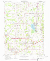
1961 Map of Westfield Center
USGS Topo · Published 1974About this map
Chippewa Lake serves as a primary geographic anchor for this part of the Connecticut Western Reserve, surrounded by mid-century leisure developments such as Chippewa-on-the-Lake, Gloria Glens Park, and Briarwood Beach. The map illustrates a rural Ohio landscape in transition, where traditional farming and small settlements like Westfield Center and Lafayette meet an increasing industrial footprint. To the south, the village of Seville and the town of Lodi are connected by the corridors of the Baltimore and Ohio and Norfolk and Western railroads.
Find a feature on this map
49 named features on this map. Tap any name to fly to it.
Don’t see what you’re looking for? This feature index may not catch every label — zoom into the map to look around manually.
Map Details
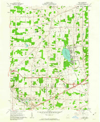
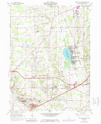
Editions of this 1961 Westfield Center Map
3 editions found
Other maps of this area

1901 · Wooster
USGS Topo · 1:62,500

1903 · Wooster
USGS Topo · 1:62,500

1904 · Medina
USGS Topo · 1:62,500

1904 · Wellington
USGS Topo · 1:62,500

1906 · Medina
USGS Topo · 1:62,500

1906 · Wellington
USGS Topo · 1:62,500

1906 · West Salem
USGS Topo · 1:62,500

1908 · West Salem
USGS Topo · 1:62,500

1950 · Cleveland
USGS Topo · 1:250,000

1950 · Marion
USGS Topo · 1:250,000