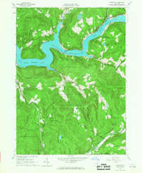
1965 Map of Lewbeach
USGS Topo · Published 1967About this map
Pepacton Reservoir dominates the northern landscape, its waters held behind a spillway at an elevation of 1280 feet. This mid-1960s survey documents the valley's transformation following the inundation of the East Branch Delaware River, showing the relocated Shavertown and its accompanying Shavertown Ch and Shavertown Bridge. The Delaware Aqueduct cuts through the southern terrain, a vital piece of infrastructure near the village of Lewbeach.
Find a feature on this map
43 named features on this map. Tap any name to fly to it.
Don’t see what you’re looking for? This feature index may not catch every label — zoom into the map to look around manually.
Map Details
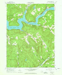
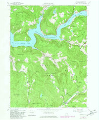
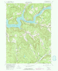
Editions of this 1965 Lewbeach Map
4 editions found
Other maps of this area

1901 · Margaretville
USGS Topo · 1:62,500

1904 · Margaretville
USGS Topo · 1:62,500

1910 · Neversink
USGS Topo · 1:62,500

1921 · Livingston Manor
USGS Topo · 1:62,500

1922 · Andes
USGS Topo · 1:62,500

1923 · Livingston Manor
USGS Topo · 1:62,500

1924 · Andes
USGS Topo · 1:62,500

1942 · Neversink
USGS Topo · 1:62,500

1943 · Monticello
USGS Topo · 1:125,000

1944 · Livingston Manor
USGS Topo · 1:62,500