
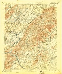
1894 Map of Lexington
USGS Topo · Published 1900About this map
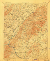
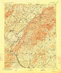
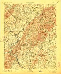
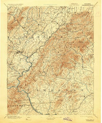
Amherst and the surrounding Blue Ridge foothills define this late 19th-century survey, revealing a landscape of small agricultural settlements and mountain hollows. The map captures the region before modern development, where post offices like Clifford P.O. and Medvors Cool-Well P.O. served as vital communication hubs for rural families. Industrial and transit corridors are clearly marked, following the natural valleys with the Balto. and Ohio R.R. and Shen. Valley R.R. cutting through the northwestern corner. Notable landmarks such as Crabtree Falls and the prominent peaks of The Priest and The Friar provide a distinct geographic context for researchers. The presence of Rockbridge Baths and various mills, including Massies Mill and Pedlar Mills, illustrates the early economic reliance on the area's abundant water resources like the Mary River and Tye River.
Find a feature on this map
209 named features on this map. Tap any name to fly to it.
Don’t see what you’re looking for? This feature index may not catch every label — zoom into the map to look around manually.
Map Details
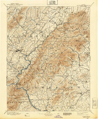
Editions of this 1894 Lexington Map
7 editions found
Other maps of this area

1890 · Roanoke
USGS Topo · 1:125,000

1891 · Roanoke
USGS Topo · 1:125,000

1892 · Lynchburg
USGS Topo · 1:125,000

1892 · Buckingham
USGS Topo · 1:125,000

1892 · Appomattox
USGS Topo · 1:125,000

1892 · Harrisonburg
USGS Topo · 1:125,000

1894 · Staunton
USGS Topo · 1:125,000

1894 · Natural Bridge
USGS Topo · 1:125,000

1894 · Natural Bridge
USGS Topo · 1:62,500

1901 · Monterey
USGS Topo · 1:125,000