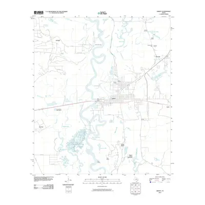
2010 Map of Liberty
USGS Topo · Published 2010About this map
The Trinity River snakes through this 2010 landscape, its oxbows and backwaters creating a complex network of bayous and lakes that define the region's geography. The city of Liberty sits as the central hub, surrounded by smaller communities such as Kenefick, Ames, and the Negros Liberty Settlement. This survey captures the area's deep-rooted history, including the site of Atascosito and several burial grounds like Old Hardin Cemetery and Fairlawn Cemetery.
Find a feature on this map
67 named features on this map. Tap any name to fly to it.
Don’t see what you’re looking for? This feature index may not catch every label — zoom into the map to look around manually.
Map Details
Editions of this 2010 Liberty Map
This is the sole edition of this map. No revisions or reprints were ever made.
Other maps of this area

1943 · Liberty
USGS Topo · 1:125,000

1950 · Houston
USGS Topo · 1:250,000

1954 · Beaumont
USGS Topo · 1:250,000

1955 · Daisetta
USGS Topo · 1:62,500

1955 · Liberty
USGS Topo · 1:62,500

1956 · Houston
USGS Topo · 1:250,000

1957 · Beaumont
USGS Topo · 1:250,000

1961 · Shiloh
USGS Topo · 1:24,000
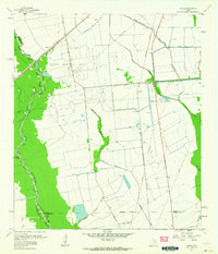
1961 · Sheeks
USGS Topo · 1:24,000
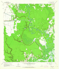
1961 · Moss Bluff
USGS Topo · 1:24,000