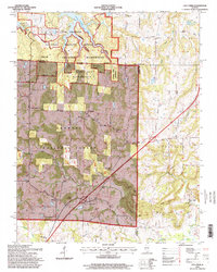
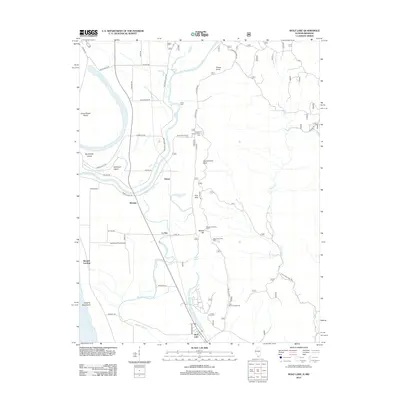
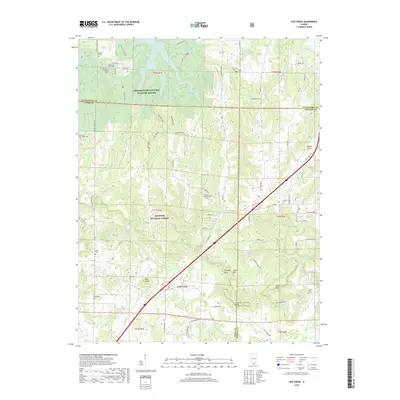
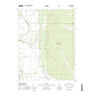
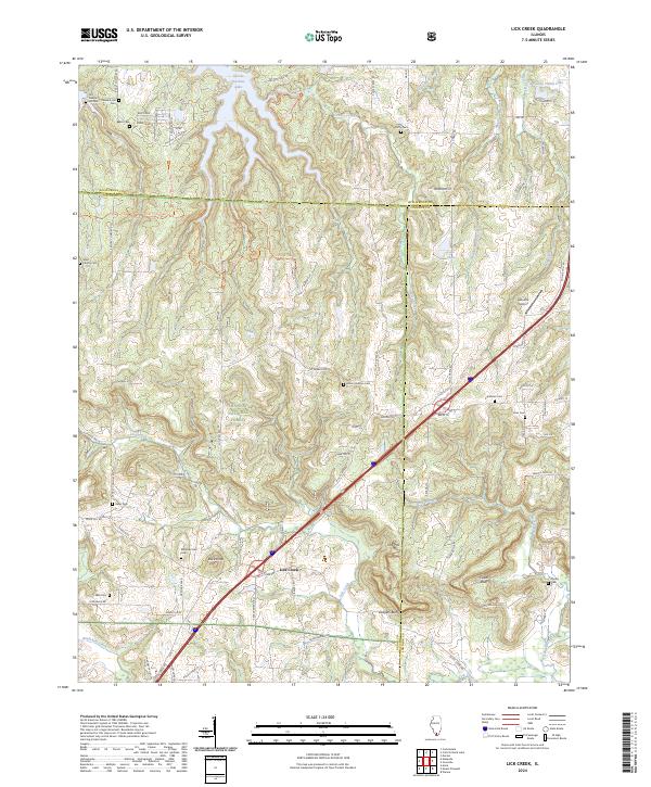
1966 Map of Lick Creek
USGS Topo · Published 1989About this map
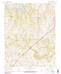
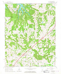
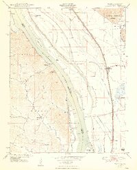
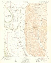
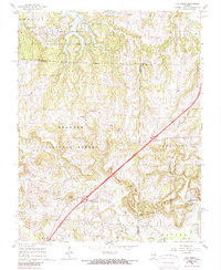
Crab Orchard National Wildlife Refuge dominates the northern reaches of this landscape, where the waters of Little Grassy Lake and Devils Kitchen Lake meet at the boundary of Williamson and Union counties. The terrain is defined by a dense network of country churches and family burial grounds, reflecting the deep-rooted rural communities of the mid-1960s. Landmarks like Cumberland Ch and the Old Pleasant Hill Cem anchor the social history of the area, while the settlement of Wayside sits centrally along the winding secondary roads. To the south, the landscape transitions into the Shawnee National Forest, punctuated by prominent elevations such as Buck Knob and the dramatic escarpments of Cedar Bluff and Drapers Bluff. The map also captures the early footprint of Interstate 57 as it cuts through the eastern portion of the quadrangle near Ferne Clyffe State Park.
Find a feature on this map
42 named features on this map. Tap any name to fly to it.
Don’t see what you’re looking for? This feature index may not catch every label — zoom into the map to look around manually.
Map Details
Editions of this 1966 Lick Creek Map
3 editions found
Historical Maps of Lick Creek Through Time
31 maps found
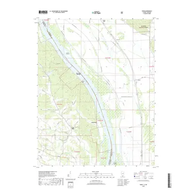
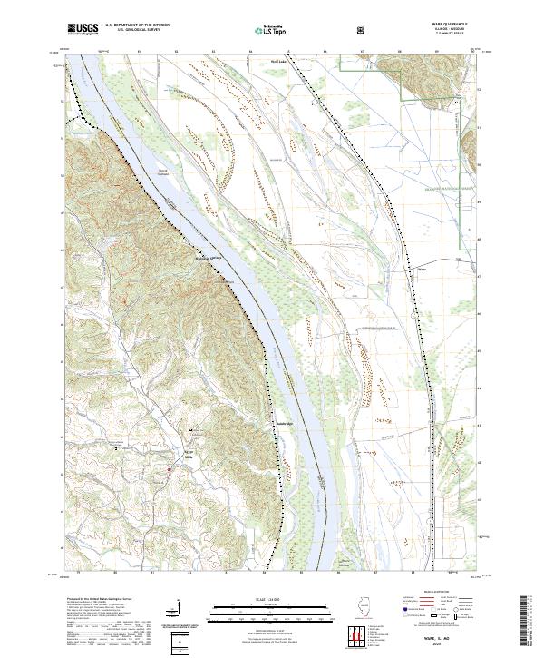
1947 Ware
Union County, IL
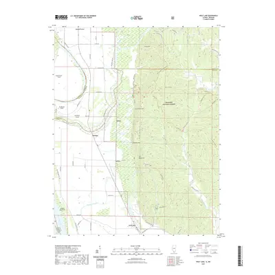
1947 Wolf Lake
Union County, IL
1948 Ware
Union County, IL
1948 Wolf Lake
Union County, IL
1953 Wabash Island
Union County, IL
1958 Wabash Island
Union County, IL
1966 Lick Creek
Union County, IL
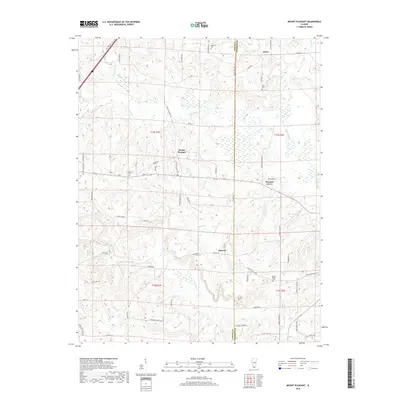
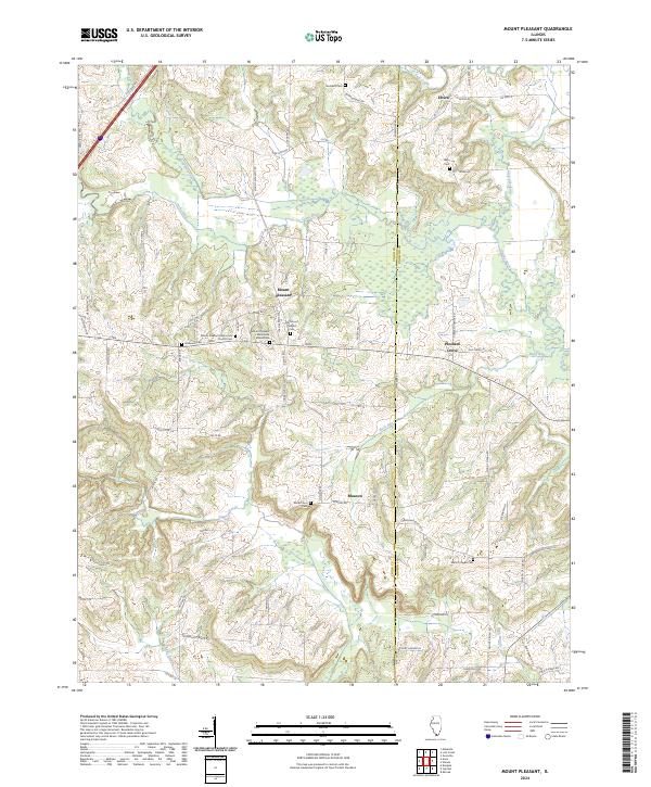
1966 Mt Pleasant
Union County, IL
1993 Ware
Union County, IL
1994 Wolf Lake
Union County, IL
1996 Lick Creek
Union County, IL
2012 Lick Creek
Union County, IL
2012 Mount Pleasant
Union County, IL
2012 Ware
Union County, IL
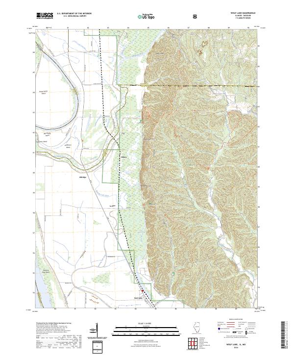
2012 Wolf Lake
Union County, IL
2015 Lick Creek
Union County, IL
2015 Mount Pleasant
Union County, IL
2015 Ware
Union County, IL
2015 Wolf Lake
Union County, IL
2018 Lick Creek
Union County, IL
2018 Mount Pleasant
Union County, IL
2018 Ware
Union County, IL
2018 Wolf Lake
Union County, IL
2021 Lick Creek
Union County, IL
2021 Mount Pleasant
Union County, IL
2021 Ware
Union County, IL
2021 Wolf Lake
Union County, IL
2024 Lick Creek
Union County, IL
2024 Mount Pleasant
Union County, IL
2024 Ware
Union County, IL
2024 Wolf Lake
Union County, IL