
1950 Map of Lily
USGS Topo · Published 1952About this map
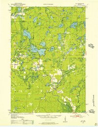
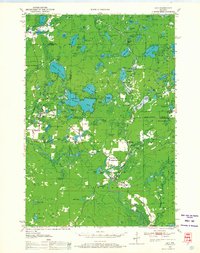
Glacial lakes and dense woodlands of the Nicolet National Forest define this mid-century landscape at the border of Forest and Langlade Counties. Small settlements and specialized camps are scattered throughout the region, including Mole Lake in the northwest and Pickerel near the central lakes. The map documents community foundations through landmarks like Pearson Cem, the Pearson Sch, and the Adventist Sch. Transportation is anchored by the Minneapolis, St Paul, Sault Ste Marie rail line, which served the logging and local economy of the time. Water bodies like Roberts Lake, Ground Hemlock Lake, and Deep Hole Lake are detailed alongside marshes such as Dennison Swamp, illustrating the complex hydrology of the Wisconsin northwoods. For researchers, the presence of the Lookout Tower and a Landing Field near Lily highlights the infrastructure used for forest management and local transit in the 1950s.
Find a feature on this map
96 named features on this map. Tap any name to fly to it.
Don’t see what you’re looking for? This feature index may not catch every label — zoom into the map to look around manually.
Map Details
Editions of this 1950 Lily Map
3 editions found
Other maps of this area

1939 · Crandon
USGS Topo · 1:48,000

1939 · Laona
USGS Topo · 1:48,000

1940 · Monico
USGS Topo · 1:48,000

1941 · Crandon
USGS Topo · 1:48,000

1942 · Elcho
USGS Topo · 1:48,000

1942 · Wabeno
USGS Topo · 1:48,000

1942 · Pearson
USGS Topo · 1:48,000

1946 · Laona
USGS Topo · 1:48,000

1947 · Crandon
USGS Topo · 1:48,000

1950 · Wabeno
USGS Topo · 1:48,000