
1951 Map of Lime Hills
USGS Topo · Published 1952About this map
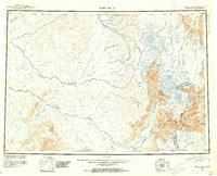
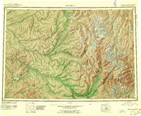
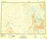
Glacial ice and high-altitude drainage systems dominate this mid-century portrait of the Lime Hills region, compiled in part from 1940s trimetrogon photography. The landscape is defined by the massive watersheds of the Big River, Swift River, and Stony River, which carve deep valleys through the mountains. Human presence is almost entirely absent from the interior, represented only by a lone Cabin located south of Two Lakes. This isolation is underscored by the administrative boundary between the Third Judicial Div and Fourth Judicial Div, which splits the territory. Notable mountain landmarks such as Cairn Mountain, Snowcap Mountain, and the strategically located Sled Pass provide the primary navigational references across the complex terrain of the South Fork Kuskokwim River headwaters.
Find a feature on this map
18 named features on this map. Tap any name to fly to it.
Don’t see what you’re looking for? This feature index may not catch every label — zoom into the map to look around manually.
Map Details
Editions of this 1951 Lime Hills Map
4 editions found
Other maps of this area

1944 · Kenai
USGS Topo · 1:250,000

1946 · Lake Clark
USGS Topo · 1:250,000

1949 · Tyonek
USGS Topo · 1:250,000

1949 · McGrath
USGS Topo · 1:250,000

1950 · Kenai
USGS Topo · 1:250,000

1950 · Sleetmute
USGS Topo · 1:250,000

1950 · McGrath
USGS Topo · 1:250,000

1950 · Talkeetna
USGS Topo · 1:250,000

1950 · Taylor Mountains
USGS Topo · 1:250,000

1951 · Talkeetna
USGS Topo · 1:250,000