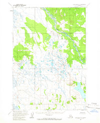
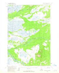
1958 Map of Lime Hills C-8
USGS Topo · Published 1966About this map
The Swift River dominates the northern reaches of this mid-century survey, cutting through a wilderness of vast wetlands and complex glacial terrain. Flowing south out of higher elevations, the river meanders through an intricate landscape of unnamed lakes and marshy flats, characteristic of the interior Alaskan drainage systems. To the southeast, the Gagaryah River clips the corner of the map, further defining the hydrological network of this remote region. This 1958 topographic record represents the landscape as it appeared shortly after Alaskas statehood, documenting a territory almost entirely devoid of human infrastructure. The lack of roads or settlements emphasizes the raw environmental state of the area, where the only orientation is provided by the natural drainage patterns and the elevation changes of the surrounding hills.
Find a feature on this map
2 named features on this map. Tap any name to fly to it.
Don’t see what you’re looking for? This feature index may not catch every label — zoom into the map to look around manually.
Map Details
Editions of this 1958 Lime Hills C-8 Map
2 editions found
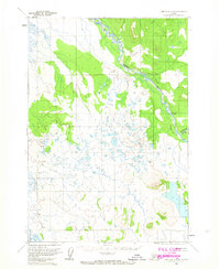
Other maps of this area

1950 · Sleetmute
USGS Topo · 1:250,000

1951 · Lime Hills
USGS Topo · 1:250,000

1954 · Sleetmute D-1
USGS Topo · 1:63,360

1954 · Sleetmute C-1
USGS Topo · 1:63,360
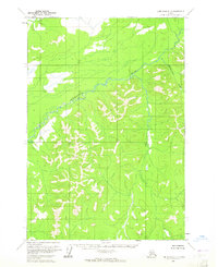
1954 · Lime Hills D-7
USGS Topo · 1:63,360
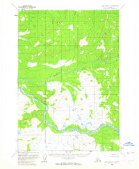
1954 · Lime Hills C-7
USGS Topo · 1:63,360
1954 · Lime Hills D-8
USGS Topo · 1:63,360

1954 · Sleetmute
USGS Topo · 1:250,000

1954 · Lime Hills B-7
USGS Topo · 1:63,360

1954 · Lime Hills B-8
USGS Topo · 1:63,360