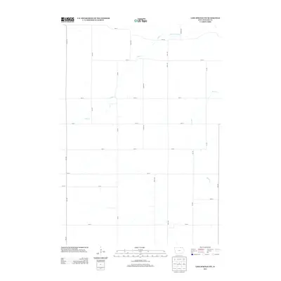
2013 Map of Lime Springs NW
USGS Topo · Published 2013About this map
The Upper Iowa River winds through the northern portion of this Howard County landscape, carving a valley that dictates the irregular path of River Rd. This 2013 survey illustrates a highly structured agricultural grid, where arterial roads like Co Hwy V10 and Howard Ave frame expansive fields in the northwest corner of Iowa. The drainage patterns of Staff Cr and Beaver Cr create the only significant breaks in the geometric section lines, providing a record of the natural hydrology that has sustained this farming region for generations. Genealogists and land researchers can use the detailed road network, including Garden Ave and Ivy Ave, to pinpoint historical family farmsteads and agricultural holdings as they existed in the early 21st century.
Find a feature on this map
25 named features on this map. Tap any name to fly to it.
Don’t see what you’re looking for? This feature index may not catch every label — zoom into the map to look around manually.
Map Details
Editions of this 2013 Lime Springs NW Map
This is the sole edition of this map. No revisions or reprints were ever made.
Other maps of this area

1954 · Mason City
USGS Topo · 1:250,000

1957 · Mason City
USGS Topo · 1:250,000

1958 · Mason City
USGS Topo · 1:250,000

1965 · Le Roy
USGS Topo · 1:24,000

1965 · Ostrander
USGS Topo · 1:24,000

1965 · Cherry Grove
USGS Topo · 1:24,000

1972 · Mc Intire
USGS Topo · 1:24,000

1972 · Riceville
USGS Topo · 1:24,000

1981 · Lourdes
USGS Topo · 1:24,000

1981 · Lime Springs
USGS Topo · 1:24,000