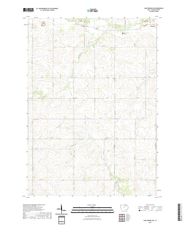
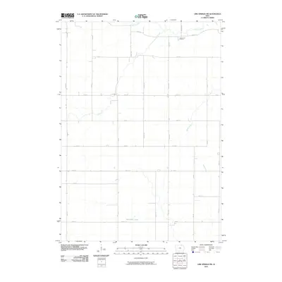
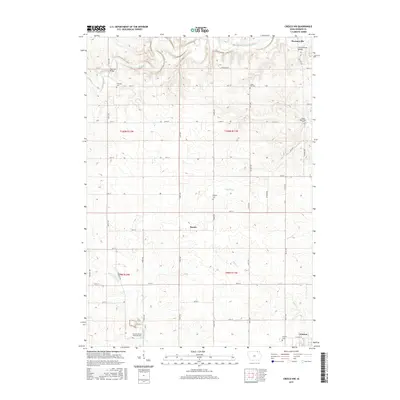
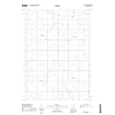
2022 Map of Lime Springs NW
USGS Topo · Published 2022About this map
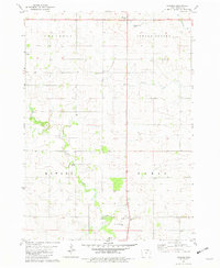
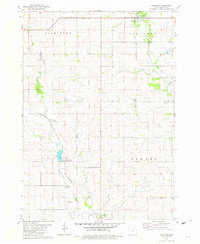
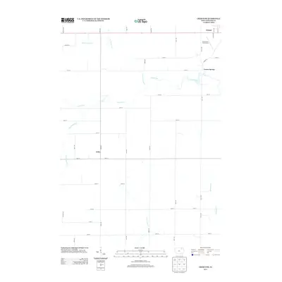
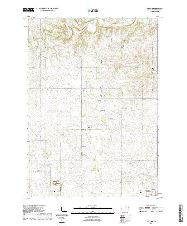
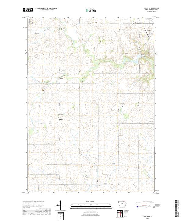
The settlement of Chester anchors the northeastern corner of this Howard County landscape, situated along the winding banks of the Upper Iowa River. This agricultural region is defined by a grid of rural roads and the drainage patterns of several local waterways, including Staff Cr, Beaver Cr, and Stuffer Cr. Genealogists and local historians will find the Chester Hill Cem north of the river, serving as a primary landmark for the surrounding township. The terrain is structured by a systematic layout of avenues and streets, such as River Rd and Dale Ave, which connect the scattered farmsteads and fields that characterize this portion of northern Iowa. The map documents the persistent rural character of the area, where the economy remains tied to the land and the river that cuts through the northern sections of T100N R14W and T100N R13W.
Find a feature on this map
31 named features on this map. Tap any name to fly to it.
Don’t see what you’re looking for? This feature index may not catch every label — zoom into the map to look around manually.
Map Details
Editions of this 2022 Lime Springs NW Map
This is the sole edition of this map. No revisions or reprints were ever made.
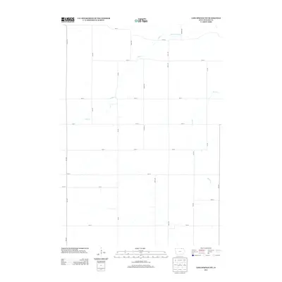
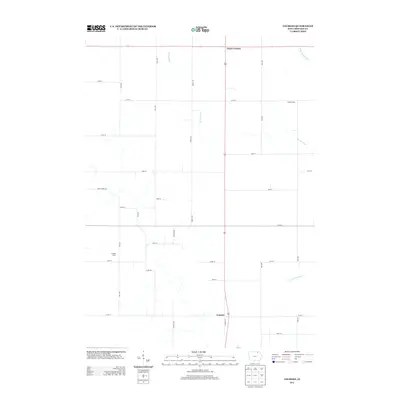
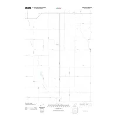
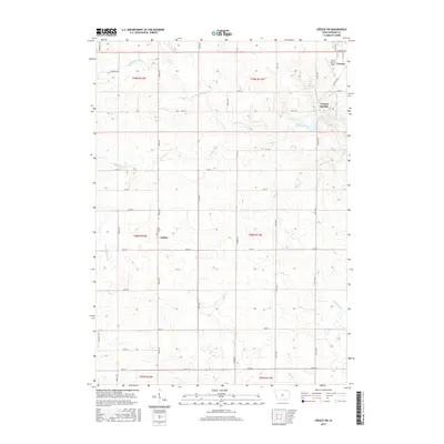
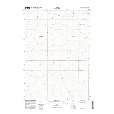
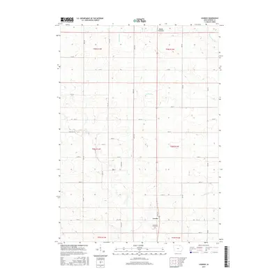
Historical Maps of Chester Through Time
30 maps found
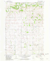
1981 Cresco NW
Howard County, IA
1981 Cresco SW
Howard County, IA
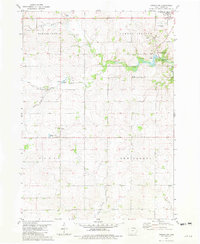
1981 Lime Springs NW
Howard County, IA
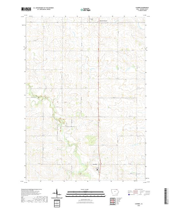
1981 Lourdes
Howard County, IA
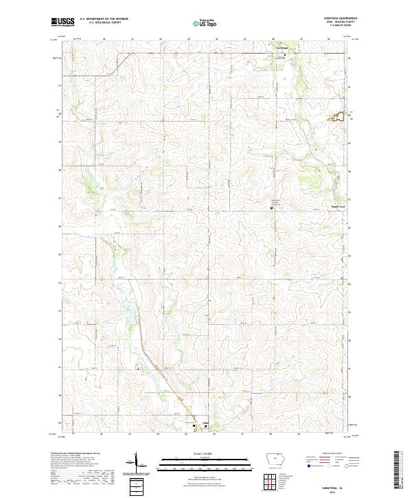
1981 Saratoga
Howard County, IA
2010 Cresco NW
Howard County, IA
2010 Cresco SW
Howard County, IA
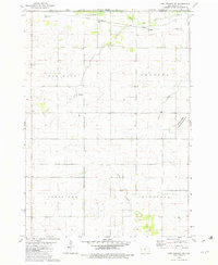
2010 Lime Springs NW
Howard County, IA
2010 Lourdes
Howard County, IA
2010 Saratoga
Howard County, IA
2013 Cresco NW
Howard County, IA
2013 Cresco SW
Howard County, IA
2013 Lime Springs NW
Howard County, IA
2013 Lourdes
Howard County, IA
2013 Saratoga
Howard County, IA
2015 Cresco NW
Howard County, IA
2015 Cresco SW
Howard County, IA
2015 Lime Springs NW
Howard County, IA
2015 Lourdes
Howard County, IA
2015 Saratoga
Howard County, IA
2018 Cresco NW
Howard County, IA
2018 Cresco SW
Howard County, IA
2018 Lime Springs NW
Howard County, IA
2018 Lourdes
Howard County, IA
2018 Saratoga
Howard County, IA
2022 Cresco NW
Howard County, IA
2022 Cresco SW
Howard County, IA
2022 Lime Springs NW
Howard County, IA
2022 Lourdes
Howard County, IA
2022 Saratoga
Howard County, IA