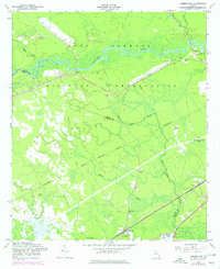
1958 Map of Limerick NW
USGS Topo · Published 1977About this map
The Fort Stewart Military Reservation dominates this landscape, spanning the boundary between Bryan and Liberty counties. This coastal plain region is defined by the winding course of the Canoochee River and a dense network of water features, including Savage Creek and Mount Hope Creek. Numerous Artesian Wells are scattered across the terrain, reflecting the area's specific hydrological characteristics during the mid-20th century.
Find a feature on this map
26 named features on this map. Tap any name to fly to it.
Don’t see what you’re looking for? This feature index may not catch every label — zoom into the map to look around manually.
Map Details
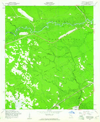
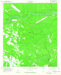
Editions of this 1958 Limerick NW Map
3 editions found
Other maps of this area

1918 · Hinesville
USGS Topo · 1:62,500

1920 · Pembroke
USGS Topo · 1:62,500

1920 · Meldrim
USGS Topo · 1:62,500

1920 · Limerick
USGS Topo · 1:62,500

1942 · Meldrim
USGS Topo · 1:62,500

1944 · Hinesville
USGS Topo · 1:62,500

1944 · Limerick
USGS Topo · 1:62,500

1946 · Brunswick
USGS Topo · 1:250,000

1947 · Savannah
USGS Topo · 1:250,000

1948 · Brunswick
USGS Topo · 1:250,000