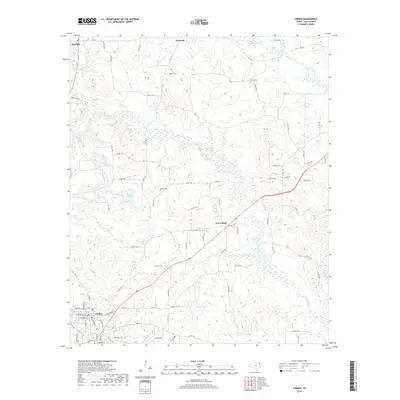
2019 Map of Linden
USGS Topo · Published 2019About this map
The county seat of Linden anchors the southwestern corner of this survey, where the street grid transitions into a network of winding county roads through the East Texas timberlands. The landscape is defined by the dendritic drainage patterns of Frazier Cr and Buck Cr, which carve through the terrain north of the town. Smaller settlements like New Colony, O'Farrell, and Red Hill are situated along the ridges, reflecting a decentralized rural community structure.
Find a feature on this map
85 named features on this map. Tap any name to fly to it.
Don’t see what you’re looking for? This feature index may not catch every label — zoom into the map to look around manually.
Map Details
Editions of this 2019 Linden Map
This is the sole edition of this map. No revisions or reprints were ever made.
Other maps of this area

1907 · Atlanta
USGS Topo · 1:62,500

1910 · Linden
USGS Topo · 1:62,500

1910 · Atlanta
USGS Topo · 1:62,500

1944 · Kildare
USGS Topo · 1:62,500

1948 · Kildare
USGS Topo · 1:62,500

1953 · Texarkana
USGS Topo · 1:250,000

1956 · Texarkana
USGS Topo · 1:250,000

1956 · Tyler
USGS Topo · 1:250,000

1961 · Cunningham Creek
USGS Topo · 1:24,000

1962 · Lanier
USGS Topo · 1:24,000