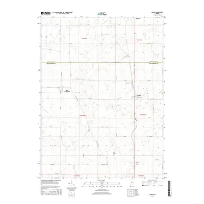
2016 Map of Linden
USGS Topo · Published 2016About this map
Agricultural lands along the Tippecanoe and Montgomery county line characterize this 2016 survey, where the town of Linden serves as a local hub. The landscape is defined by an intricate network of drainage systems, including Lofland Ditch, Stoddard Ditch, and Romney Fraley Ditch, which manage the water levels of the surrounding farmland. These man-made channels intersect with natural waterways like N Fork Coal Cr and Black Cr.
Find a feature on this map
48 named features on this map. Tap any name to fly to it.
Don’t see what you’re looking for? This feature index may not catch every label — zoom into the map to look around manually.
Map Details
Editions of this 2016 Linden Map
This is the sole edition of this map. No revisions or reprints were ever made.
Other maps of this area

1953 · Danville
USGS Topo · 1:250,000

1955 · Danville
USGS Topo · 1:250,000

1956 · Danville
USGS Topo · 1:250,000

1956 · Crawfordsville
USGS Topo · 1:24,000

1958 · Darlington
USGS Topo · 1:24,000

1958 · Linden
USGS Topo · 1:24,000

1958 · Kirkpatrick
USGS Topo · 1:24,000

1961 · Romney
USGS Topo · 1:24,000

1961 · Stockwell
USGS Topo · 1:24,000
1962 · Waynetown
USGS Topo · 1:24,000