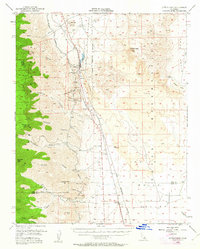
1954 Map of Little Lake
USGS Topo · Published 1963About this map
Red Hill and the dark volcanic expanse of the Lava Mountains dominate this high-desert landscape in the mid-1950s. The settlement of Little Lake serves as a critical junction where the Southern Pacific railroad and Highway 395 parallel the vital Los Angeles Aqueduct through the Rose Valley. This corridor of infrastructure is bracketed by the sheer eastern escarpment of the Sierra Nevada to the west and the restricted grounds of the Naval Ordnance Test Station to the east. Evidence of ancient and modern utility is visible side-by-side, from the Indian Petroglyphs near Airport Lake to the industrial Cinder Pit and various prospect excavations. Steep drainage systems like Fivemile Canyon and Deadfoot Canyon carve into the TULARE and INYO county lines, while the southern reach of the map opens into the Indian Wells Valley near the small communities of Linnie and Brown.
Find a feature on this map
38 named features on this map. Tap any name to fly to it.
Don’t see what you’re looking for? This feature index may not catch every label — zoom into the map to look around manually.
Map Details
Editions of this 1954 Little Lake Map
3 editions found

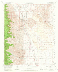
Other maps of this area

1905 · Olancha
USGS Topo · 1:125,000

1906 · Kernville
USGS Topo · 1:125,000

1907 · Olancha
USGS Topo · 1:125,000

1908 · Kernville
USGS Topo · 1:125,000

1908 · Ballarat
USGS Topo · 1:250,000

1913 · Ballarat
USGS Topo · 1:250,000

1915 · Searles Lake
USGS Topo · 1:250,000

1943 · Inyokern
USGS Topo · 1:62,500

1943 · Onyx
USGS Topo · 1:62,500

1947 · Trona
USGS Topo · 1:250,000