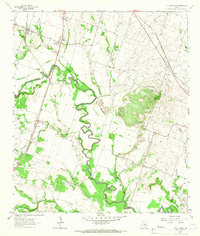
1964 Map of Little River
USGS Topo · Published 1966About this map
The meandering course of the Little River dominates this landscape in central Texas, where the river's fertile valley is flanked by numerous tributaries like Boggy Creek and Runnells Creek. The rail-centered settlements of Little River and Sparks sit along the Missouri Kansas and Texas railroad, while the eastern edge of the map is defined by the Atchison Topeka and Santa Fe line. An unusual mid-century landmark, the Temple Drag Strip, is located near Academy, illustrating the post-war shift toward automotive recreation in rural areas.
Find a feature on this map
32 named features on this map. Tap any name to fly to it.
Don’t see what you’re looking for? This feature index may not catch every label — zoom into the map to look around manually.
Map Details
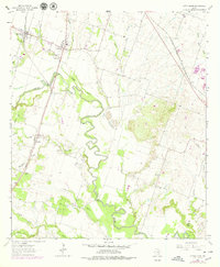
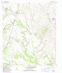
Editions of this 1964 Little River Map
3 editions found
Other maps of this area

1885 · Taylor
USGS Topo · 1:125,000

1887 · Taylor
USGS Topo · 1:125,000

1892 · Temple
USGS Topo · 1:125,000

1894 · Taylor
USGS Topo · 1:125,000

1910 · Buckholts
USGS Topo · 1:24,000

1912 · Buckholts
USGS Topo · 1:31,680

1924 · Temple 3-C
USGS Topo · 1:48,000

1931 · Belton
USGS Topo · 1:62,500

1954 · Waco
USGS Topo · 1:250,000

1954 · Austin
USGS Topo · 1:250,000
Featured Places
- Little River-Academy, TX
- Joe Lee, TX
- Little River, Little River-Academy
- Sparks, TX
- Academy, Little River-Academy