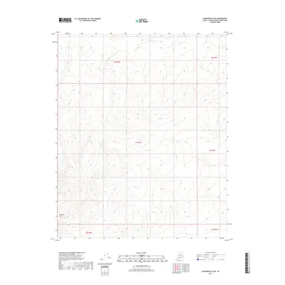
2017 Map of Livengood B-5 NW
USGS Topo · Published 2017About this map
Sawtooth Mtn dominates the southwestern corner of this interior Alaskan landscape, serving as a primary landmark for the surrounding drainage basins. The area is defined by the headwaters of several drainages, most notably Huron Cr and the Mud Fork, which carve through the high elevations of the Yukon-Koyukuk Census Area. This 2017 survey reflects a largely undeveloped wilderness, where the topographic contours illustrate the steep rise from the creek beds to the summits of the ridge lines. The absence of roads or established settlements emphasizes the remote character of this terrain, where map-based navigation relies entirely on the relationship between these watercourses and the prominent peak of Sawtooth Mtn.
Find a feature on this map
9 named features on this map. Tap any name to fly to it.
Don’t see what you’re looking for? This feature index may not catch every label — zoom into the map to look around manually.
Map Details
Editions of this 2017 Livengood B-5 NW Map
This is the sole edition of this map. No revisions or reprints were ever made.
Other maps of this area

1945 · Livengood
USGS Topo · 1:250,000

1951 · Livengood
USGS Topo · 1:250,000

1952 · Livengood C-5
USGS Topo · 1:63,360

1952 · Livengood B-5
USGS Topo · 1:63,360

1956 · Livengood B-6
USGS Topo · 1:63,360

1956 · Livengood C-6
USGS Topo · 1:63,360

1956 · Livengood
USGS Topo · 1:250,000

1964 · Livengood
USGS Topo · 1:250,000
2017 · Livengood B-5 SW
USGS Topo · 1:25,000
2017 · Livengood B-5 SE
USGS Topo · 1:25,000