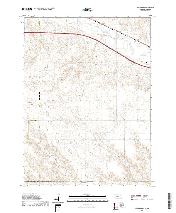
2021 Map of Lodgepole SE
USGS Topo · Published 2021About this map
The High Plains landscape of the Nebraska-Colorado border is defined here by the winding course of Lodgepole Cr and the intermittent drainage patterns of Sand Draw and Sedgwick Draw. This 2021 survey details a region of large-scale agricultural partitions, where the sectional grid is punctuated by historic local landmarks such as Saint Joseph Cem near the eastern boundary. The map captures the meeting of three counties—Cheyenne, Deuel, and Sedgwick—across the state line. While Cow Cr touches the northwestern corner, the southern portion of the quadrangle is dominated by the dry washes and rolling topography characteristic of the area south of the Lodgepole Valley. The infrastructure is primarily composed of numbered county roads like RD 14 and RD 16, which provide access to the vast ranching and farming tracts that have sustained this borderland for generations.
Find a feature on this map
26 named features on this map. Tap any name to fly to it.
Don’t see what you’re looking for? This feature index may not catch every label — zoom into the map to look around manually.
Map Details
Editions of this 2021 Lodgepole SE Map
This is the sole edition of this map. No revisions or reprints were ever made.
Historical Maps of Colorado Through Time
16 maps found
1961 Barton
Deuel County, NE
1961 Chappell SE
Deuel County, NE
1971 Big Springs NE
Deuel County, NE
1971 Big Springs NW
Deuel County, NE

1971 Chappell NE
Deuel County, NE

1971 Chappell NW
Deuel County, NE
1972 Lodgepole SE
Deuel County, NE
1972 Mount Vernon
Deuel County, NE
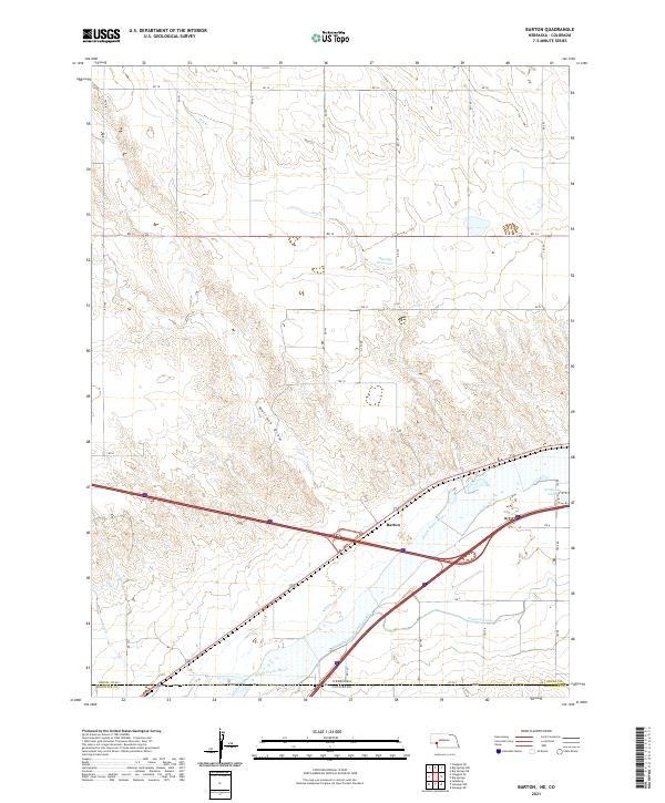
2021 Barton
Deuel County, NE
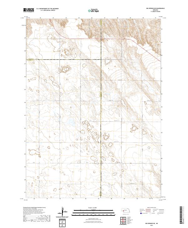
2021 Big Springs NE
Deuel County, NE
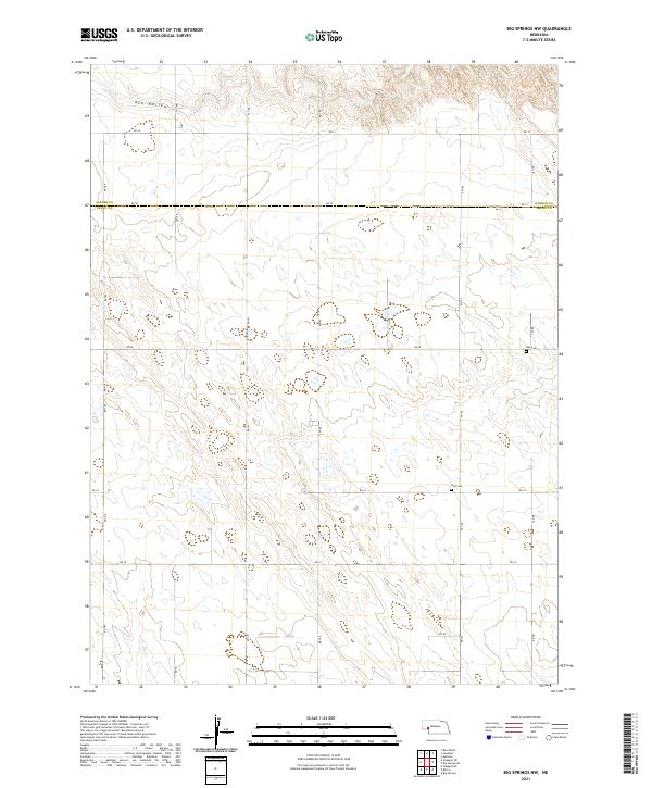
2021 Big Springs NW
Deuel County, NE
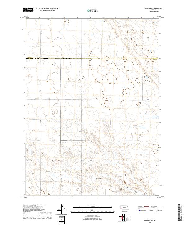
2021 Chappell NE
Deuel County, NE
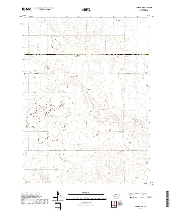
2021 Chappell NW
Deuel County, NE
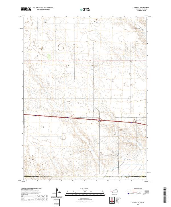
2021 Chappell SE
Deuel County, NE
2021 Lodgepole SE
Deuel County, NE
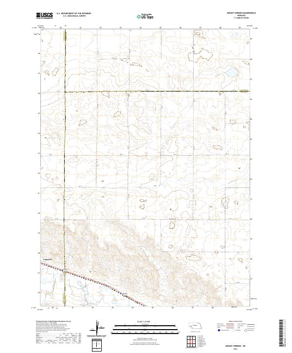
2021 Mount Vernon
Deuel County, NE