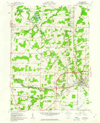
1961 Map of Lodi
USGS Topo · Published 1963About this map
The village of Lodi serves as the primary hub in this early 1960s study of Medina County, where the converging forks of the Black River meet the industrial lines of the Baltimore and Ohio Railroad. The landscape is defined by its small, distributed settlements like Garden Isle, Pawnee, and Homerville, reflecting a traditional rural Ohio township structure. This period shows a transition from agricultural dominance to integrated conservation, most notably at the Spencer Lake State Wildlife Area and its associated spillway.
Find a feature on this map
40 named features on this map. Tap any name to fly to it.
Don’t see what you’re looking for? This feature index may not catch every label — zoom into the map to look around manually.
Map Details
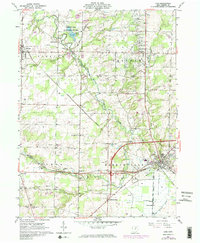
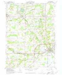
Editions of this 1961 Lodi Map
3 editions found
Other maps of this area

1901 · Wooster
USGS Topo · 1:62,500

1903 · Wooster
USGS Topo · 1:62,500

1904 · Medina
USGS Topo · 1:62,500

1904 · Wellington
USGS Topo · 1:62,500

1906 · Medina
USGS Topo · 1:62,500

1906 · Wellington
USGS Topo · 1:62,500

1906 · West Salem
USGS Topo · 1:62,500

1908 · West Salem
USGS Topo · 1:62,500

1950 · Cleveland
USGS Topo · 1:250,000

1950 · Marion
USGS Topo · 1:250,000