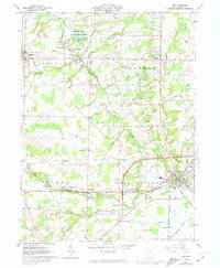
1961 Map of Lodi
USGS Topo · Published 1974About this map
The northern edge of the Spencer Lake State Wildlife Area and its surrounding agricultural terrain define this corner of the Connecticut Western Reserve during the early 1960s. The landscape is marked by a legacy of rural infrastructure, from the Oil Field and numerous Gas Wells north of Pawnee to the converging lines of the Baltimore and Ohio Railroad and the Norfolk and Western Railway. Small crossroads communities like Homerville, Spencer, and Chatham anchor the township boundaries of Homer and Harrisville. Family-named landmarks such as Vanderhoef Cem and Munson Cem provide valuable touchstones for genealogists, while the industrial character of Lodi is reflected in its local Sewage Disposal and Athletic Field. This map preserves the transition of Medina County as post-war suburbanization reached these outlying townships.
Find a feature on this map
41 named features on this map. Tap any name to fly to it.
Don’t see what you’re looking for? This feature index may not catch every label — zoom into the map to look around manually.
Map Details
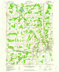
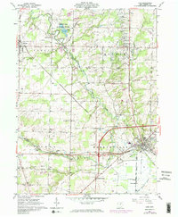
Editions of this 1961 Lodi Map
3 editions found
Other maps of this area

1901 · Wooster
USGS Topo · 1:62,500

1903 · Wooster
USGS Topo · 1:62,500

1904 · Medina
USGS Topo · 1:62,500

1904 · Wellington
USGS Topo · 1:62,500

1906 · Medina
USGS Topo · 1:62,500

1906 · Wellington
USGS Topo · 1:62,500

1906 · West Salem
USGS Topo · 1:62,500

1908 · West Salem
USGS Topo · 1:62,500

1950 · Cleveland
USGS Topo · 1:250,000

1950 · Marion
USGS Topo · 1:250,000