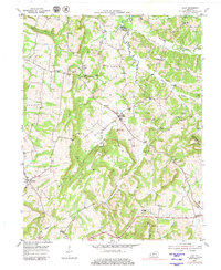
1954 Map of Lola
USGS Topo · Published 1980About this map
Mining operations and rural community centers define the landscape of Livingston County during this mid-century survey. The settlement of Lola serves as a central hub, surrounded by a network of family-named extraction sites such as Ben Bell Mines and Wright Mines. This pattern of small-scale industry is interspersed with local institutions that anchored the farming population, including Old Salem Ch and Bethel Ch.
Find a feature on this map
46 named features on this map. Tap any name to fly to it.
Don’t see what you’re looking for? This feature index may not catch every label — zoom into the map to look around manually.
Map Details
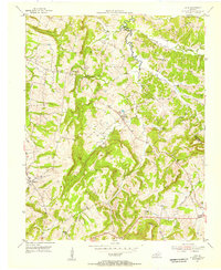
Editions of this 1954 Lola Map
2 editions found
Other maps of this area

1916 · Fords Ferry
USGS Topo · 1:62,500

1916 · Golconda
USGS Topo · 1:62,500

1920 · Goloonda
USGS Topo · 1:48,000

1921 · Fords Ferry
USGS Topo · 1:48,000

1921 · Golconda
USGS Topo · 1:62,500

1925 · Cave In Rock
USGS Topo · 1:62,500

1928 · Eddyville
USGS Topo · 1:48,000

1929 · Smithland
USGS Topo · 1:62,500

1931 · Eddyville
USGS Topo · 1:62,500

1936 · Eddyville
USGS Topo · 1:48,000