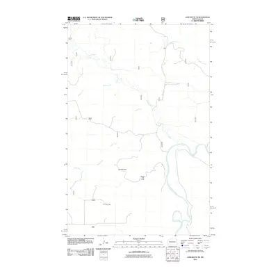
2011 Map of Lone Butte NE
USGS Topo · Published 2011About this map
The Little Missouri River carves a winding path through this western North Dakota landscape, joined by numerous drainage systems including Cherry Creek and Lone Beaver Creek. This area of McKenzie County is characterized by isolated topographical landmarks and established agricultural holdings. Haystack Butte and Round Top Butte provide prominent vertical relief against the surrounding breaks and drainage basins.
Find a feature on this map
12 named features on this map. Tap any name to fly to it.
Don’t see what you’re looking for? This feature index may not catch every label — zoom into the map to look around manually.
Map Details
Editions of this 2011 Lone Butte NE Map
This is the sole edition of this map. No revisions or reprints were ever made.
Other maps of this area

1953 · Watford City
USGS Topo · 1:250,000

1957 · Watford City
USGS Topo · 1:250,000

1958 · Lone Butte SE
USGS Topo · 1:24,000

1958 · Lone Butte
USGS Topo · 1:24,000

1958 · North Killdeer Mountain
USGS Topo · 1:24,000

1959 · Lone Butte NW
USGS Topo · 1:24,000

1959 · Croff
USGS Topo · 1:24,000

1959 · Lone Butte NE
USGS Topo · 1:24,000

1965 · Johnsons Corner
USGS Topo · 1:24,000

1967 · Watford City
USGS Topo · 1:250,000