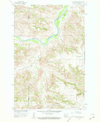
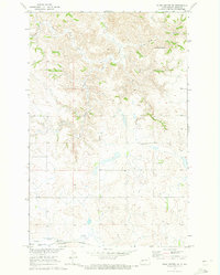
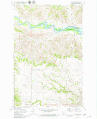
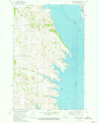
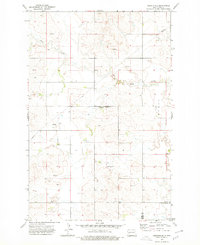
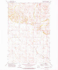
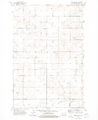
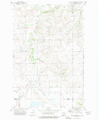
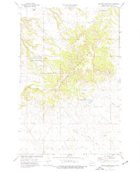
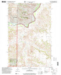
1958 Map of Lone Butte SE
USGS Topo · Published 1960This historical map portrays the area of Lone Butte SE in 1958, primarily covering Dunn County as well as portions of McKenzie County. Featuring a scale of 1:24000, this map provides a highly detailed snapshot of the terrain, roads, buildings, counties, and historical landmarks in the Lone Butte SE region at the time. Published in 1960, it is one of 2 known editions of this map due to revisions or reprints.
Find a feature on this map
18 named features on this map. Tap any name to fly to it.
Don’t see what you’re looking for? This feature index may not catch every label — zoom into the map to look around manually.
Map Details
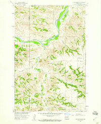
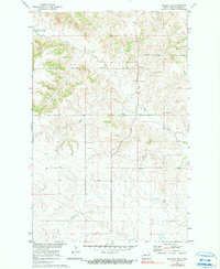
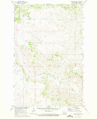
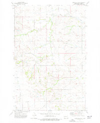
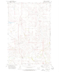
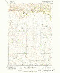
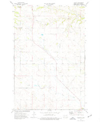
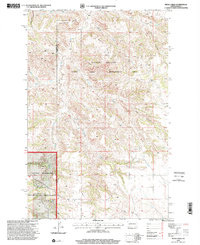
Editions of this 1958 Lone Butte SE Map
2 editions found
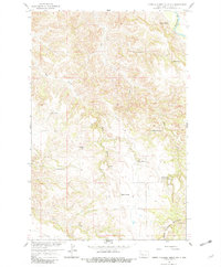
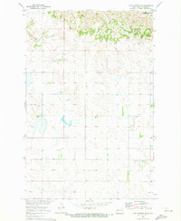
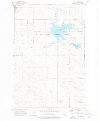
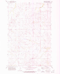
Historical Maps of Dunn County Through Time
71 maps found
1958 Lone Butte SE
Dunn County, ND
1958 North Killdeer Mountain
Dunn County, ND
1970 Dunn Center NE
Dunn County, ND
1970 Dunn Center NW
Dunn County, ND
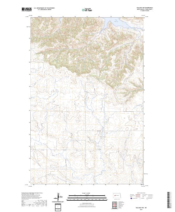
1970 Halliday NE
Dunn County, ND
1970 Halliday NW
Dunn County, ND
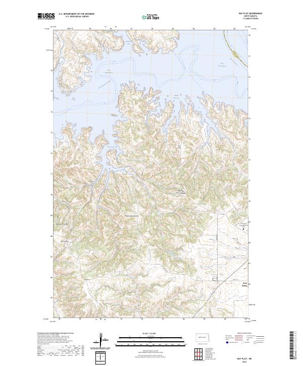
1970 Hay Flat
Dunn County, ND
1970 Lost Bridge
Dunn County, ND
1970 Mandaree NE
Dunn County, ND
1970 Mandaree SE
Dunn County, ND
1970 Mandaree SW
Dunn County, ND
1970 Saddle Butte
Dunn County, ND
1970 Saddle Butte SW
Dunn County, ND
1970 String Buttes
Dunn County, ND
1973 Emerson
Dunn County, ND
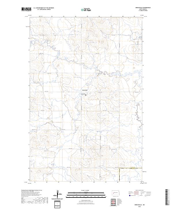
1973 Hirschville
Dunn County, ND
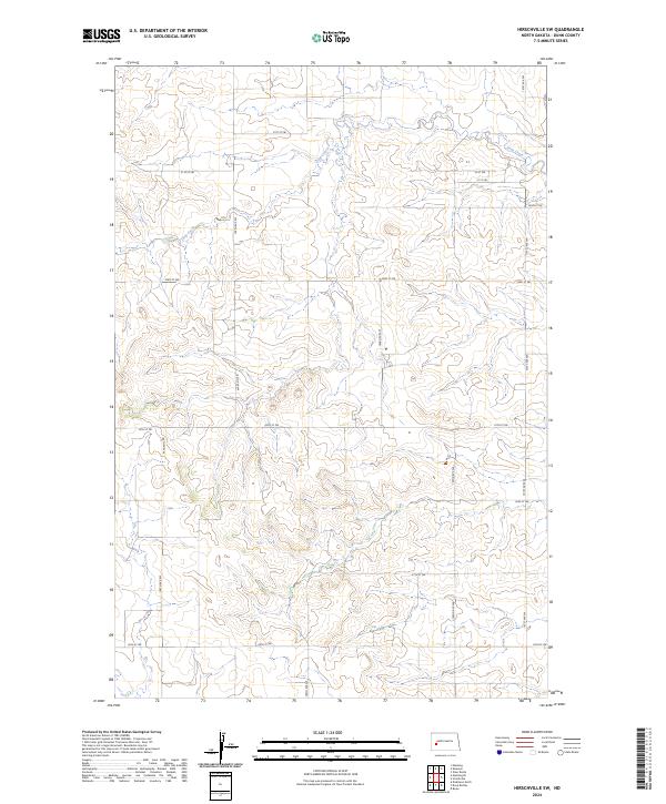
1973 Hirschville SW
Dunn County, ND
1973 Lake Ilo
Dunn County, ND
1973 Manning NW
Dunn County, ND
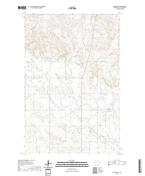
1973 Manning SE
Dunn County, ND
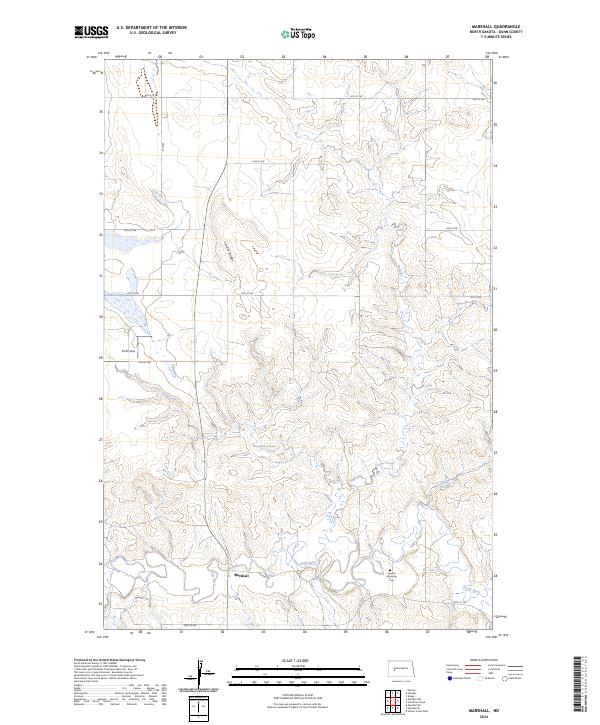
1973 Marshall
Dunn County, ND
1973 Marshall NW
Dunn County, ND
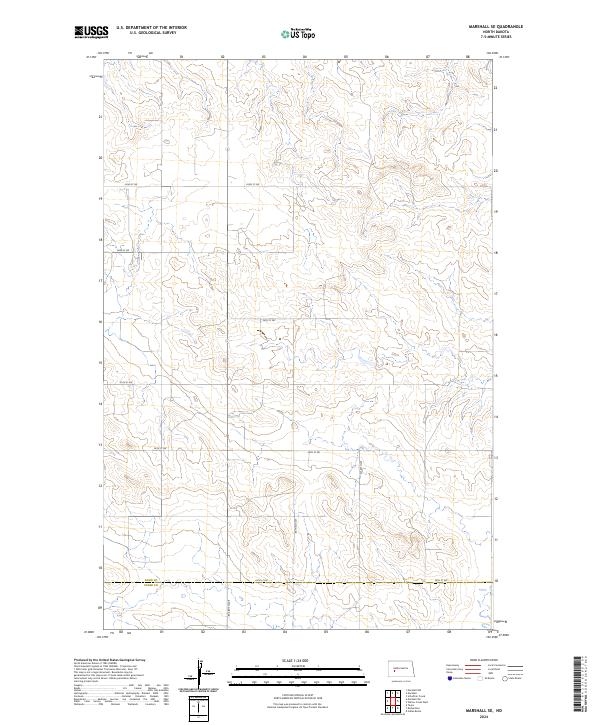
1973 Marshall SE
Dunn County, ND
1973 Marshall SW
Dunn County, ND
1973 New Hradec North
Dunn County, ND
1973 Schaffner Creek
Dunn County, ND
1973 Werner
Dunn County, ND
1973 Willow Creek West
Dunn County, ND
1973 Ziner Butte
Dunn County, ND
1974 Fayette
Dunn County, ND
1974 Grassy Butte SE
Dunn County, ND
1974 Killdeer Mountains
Dunn County, ND
1974 Oakdale
Dunn County, ND
1974 Petes Creek
Dunn County, ND
1997 Grassy Butte SE
Dunn County, ND
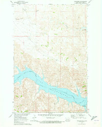
1997 Lone Butte SE
Dunn County, ND
1997 Petes Creek
Dunn County, ND
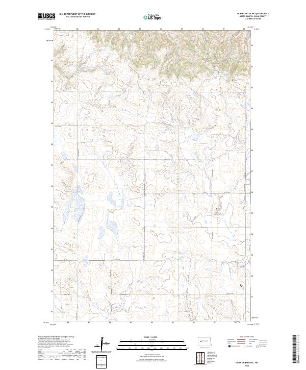
2024 Dunn Center NE
Dunn County, ND
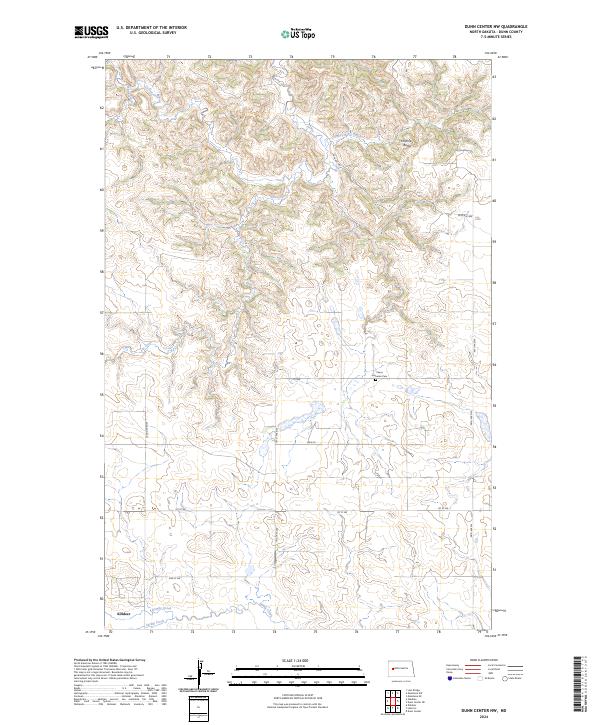
2024 Dunn Center NW
Dunn County, ND
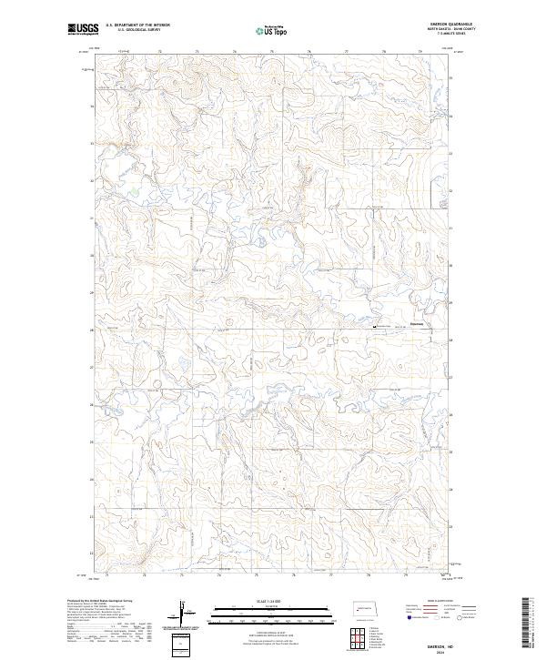
2024 Emerson
Dunn County, ND
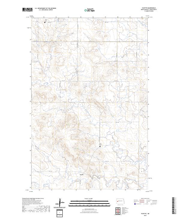
2024 Fayette
Dunn County, ND
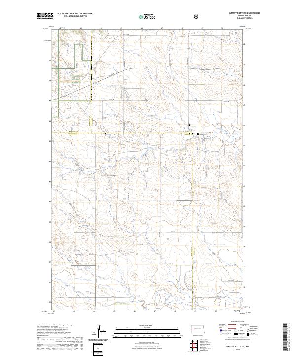
2024 Grassy Butte SE
Dunn County, ND
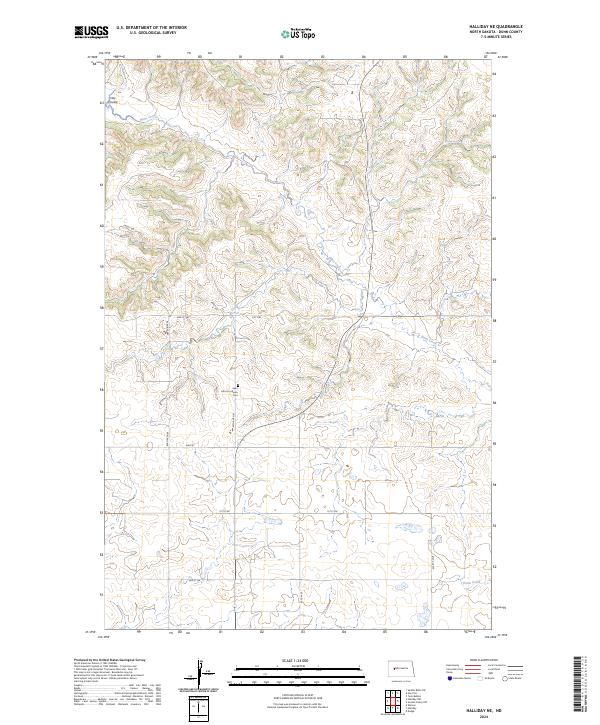
2024 Halliday NE
Dunn County, ND
2024 Halliday NW
Dunn County, ND
2024 Hay Flat
Dunn County, ND
2024 Hirschville
Dunn County, ND
2024 Hirschville SW
Dunn County, ND
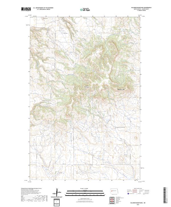
2024 Killdeer Mountains
Dunn County, ND
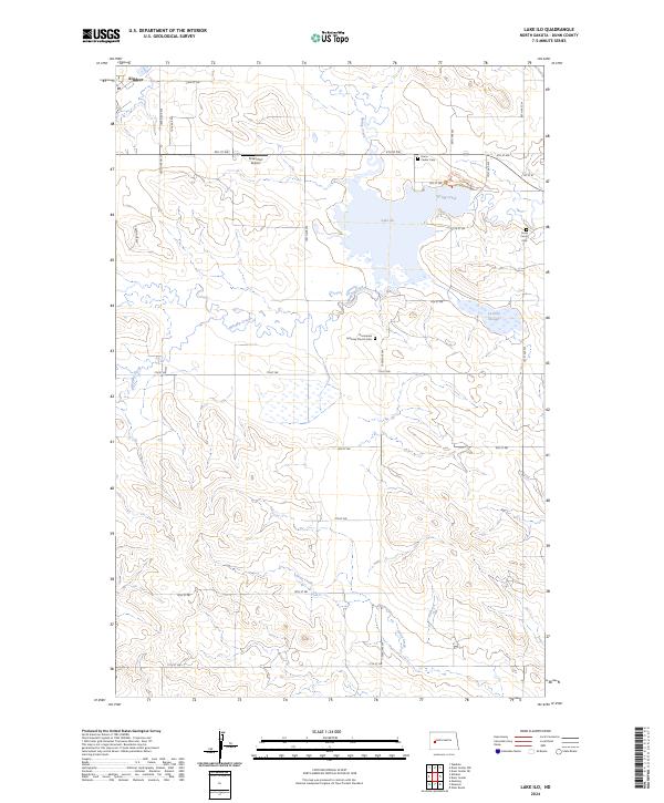
2024 Lake Ilo
Dunn County, ND
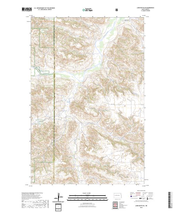
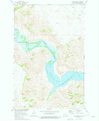
2024 Lone Butte SE
Dunn County, ND
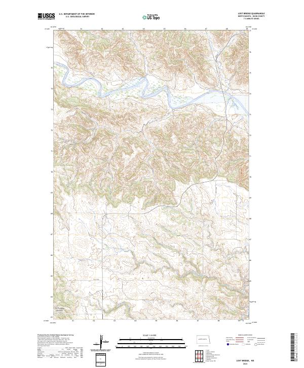
2024 Lost Bridge
Dunn County, ND
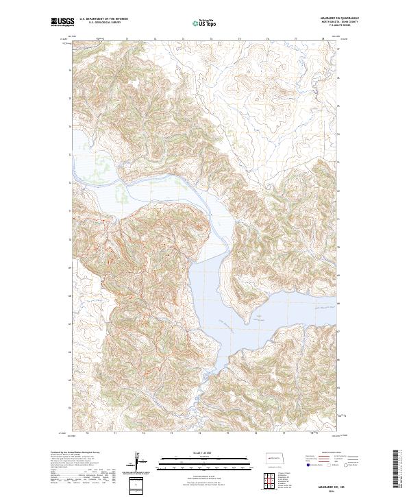
2024 Mandaree NE
Dunn County, ND
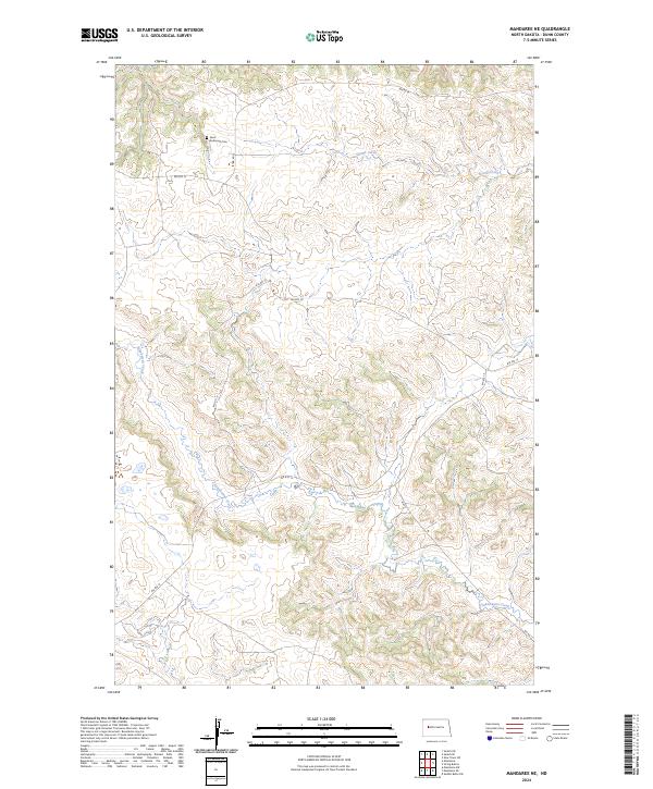
2024 Mandaree SE
Dunn County, ND
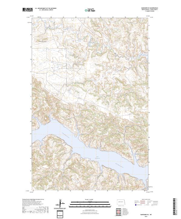
2024 Mandaree SW
Dunn County, ND
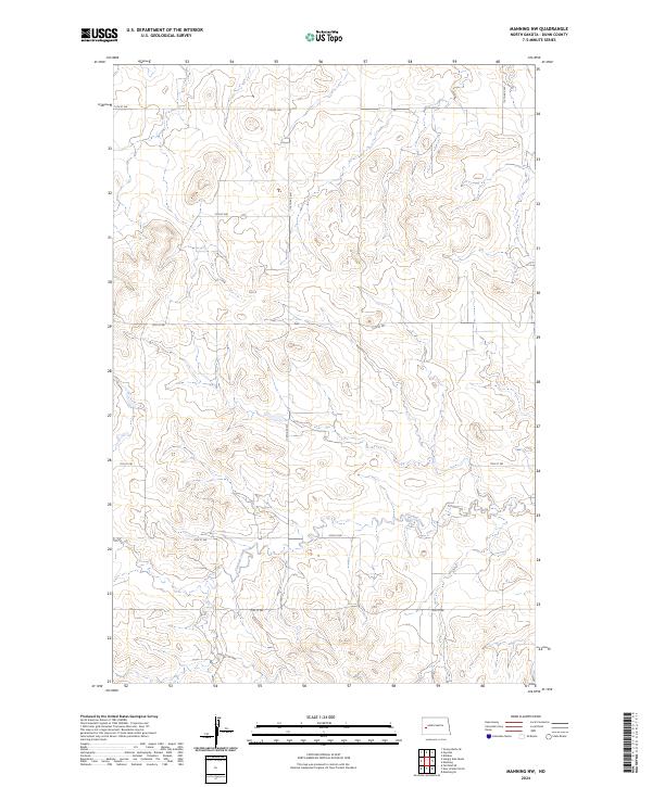
2024 Manning NW
Dunn County, ND
2024 Manning SE
Dunn County, ND
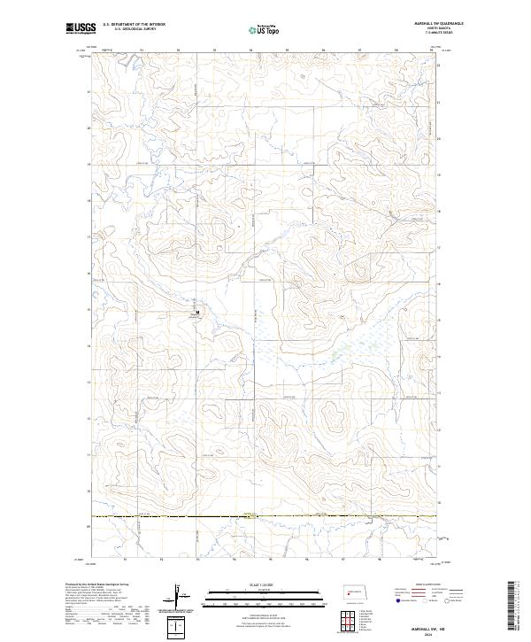
2024 Marshall
Dunn County, ND
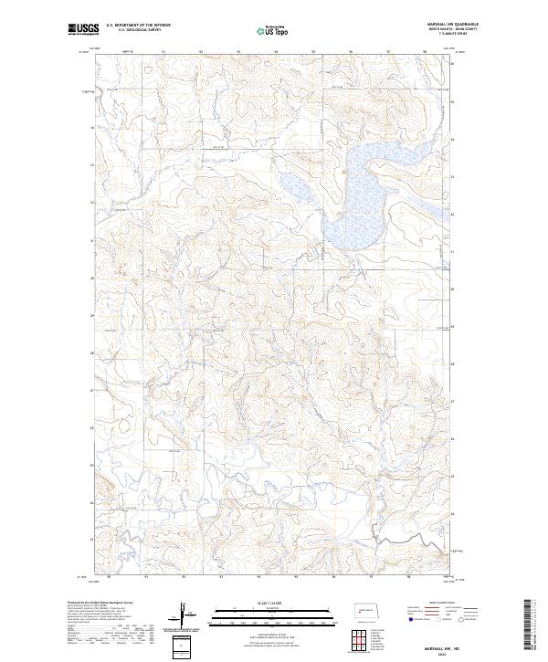
2024 Marshall NW
Dunn County, ND
2024 Marshall SE
Dunn County, ND
2024 Marshall SW
Dunn County, ND
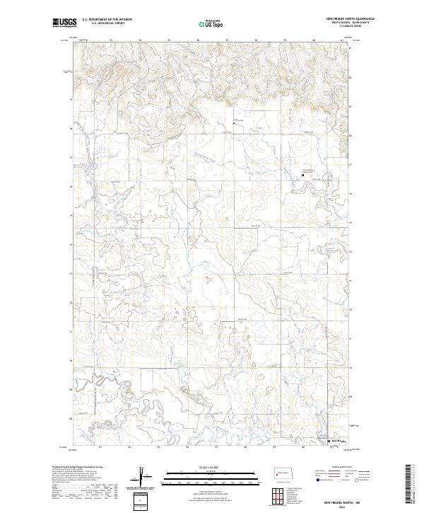
2024 New Hradec North
Dunn County, ND
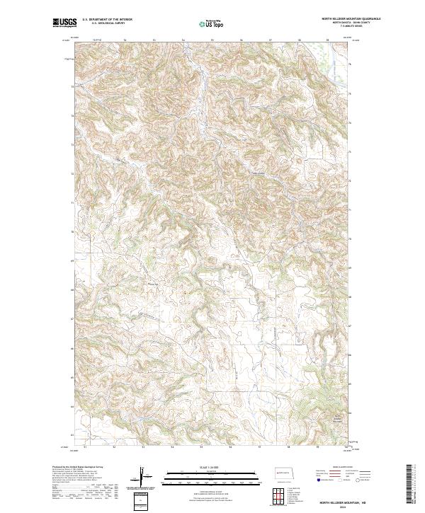
2024 North Killdeer Mountain
Dunn County, ND
2024 Oakdale
Dunn County, ND
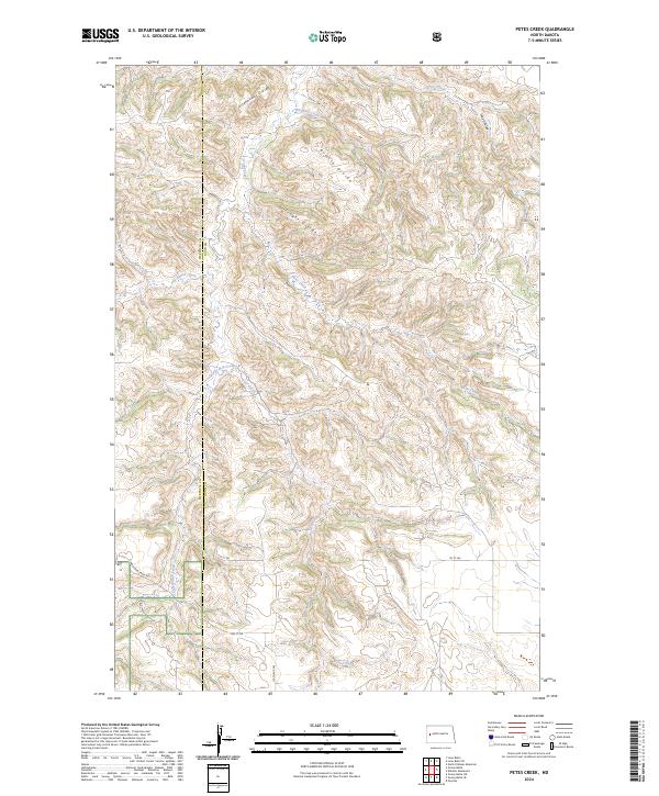
2024 Petes Creek
Dunn County, ND
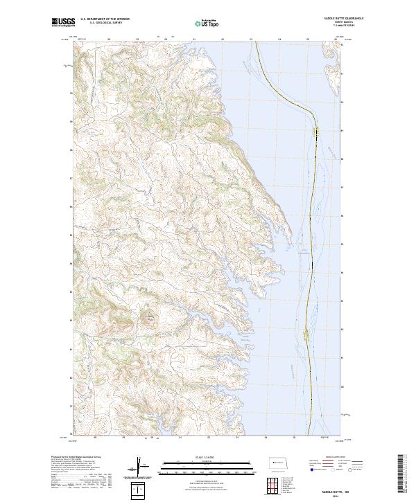
2024 Saddle Butte
Dunn County, ND
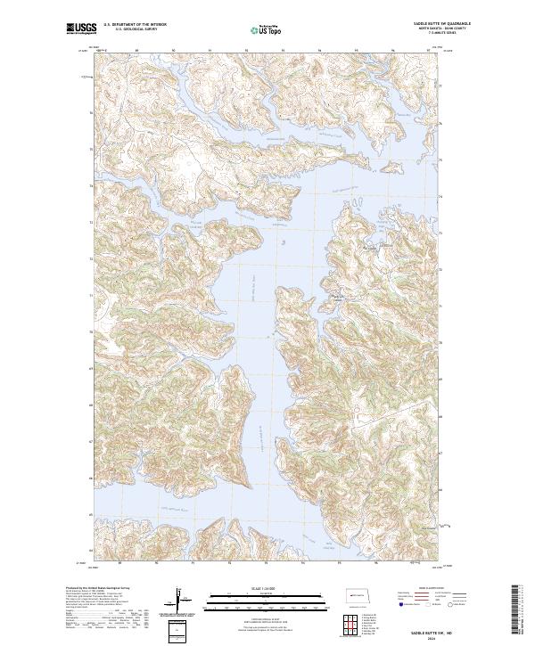
2024 Saddle Butte SW
Dunn County, ND
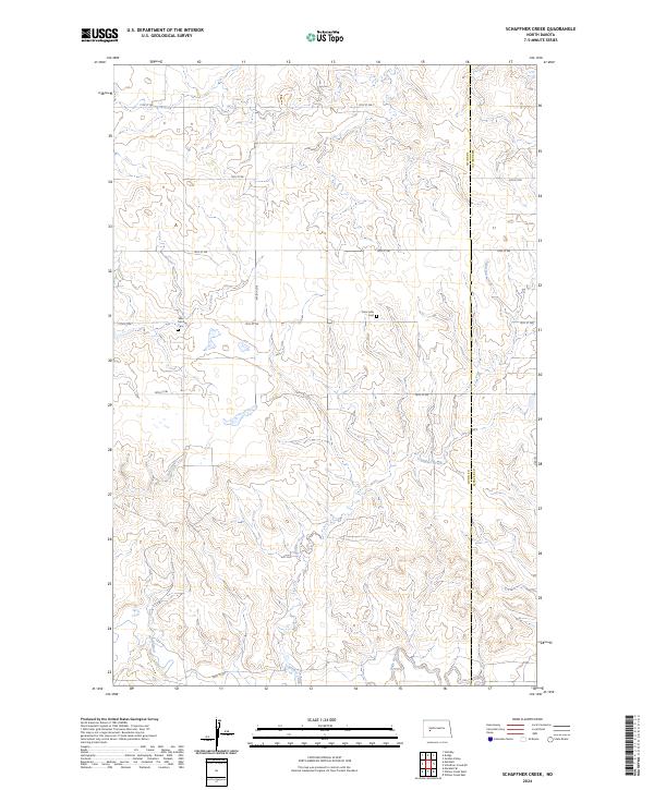
2024 Schaffner Creek
Dunn County, ND
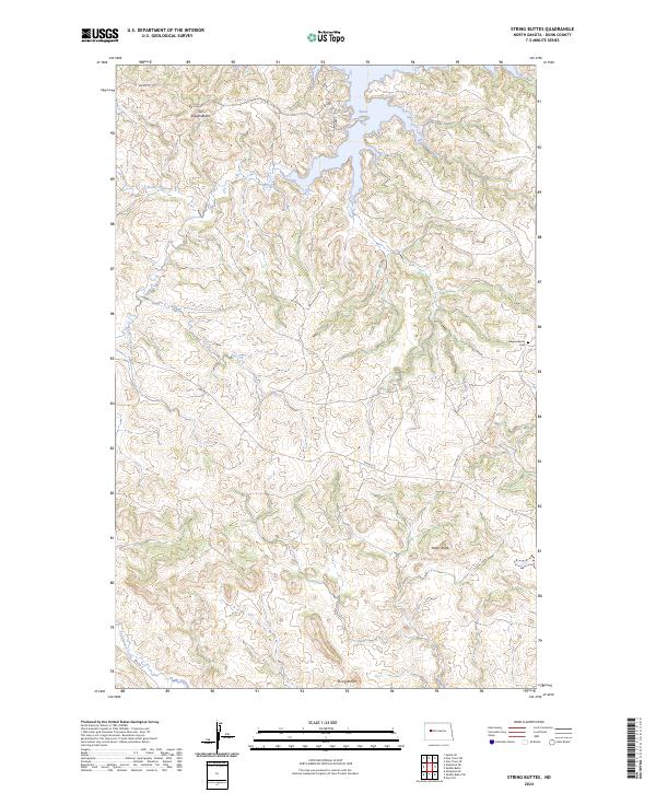
2024 String Buttes
Dunn County, ND
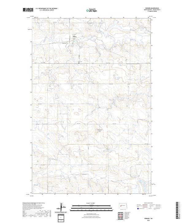
2024 Werner
Dunn County, ND
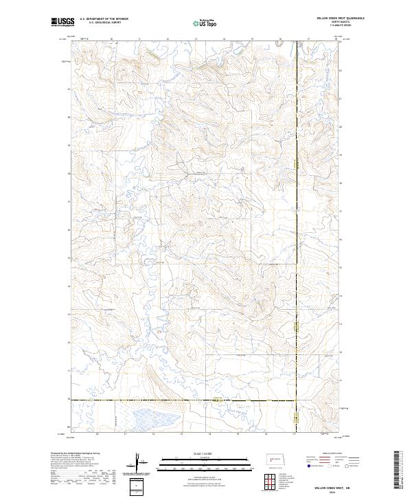
2024 Willow Creek West
Dunn County, ND
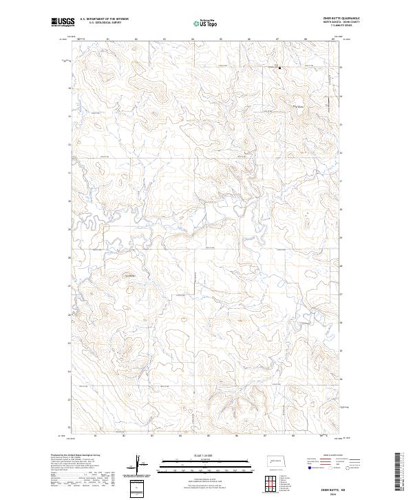
2024 Ziner Butte
Dunn County, ND