
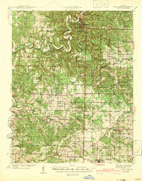
1942 Map of Long Lane
USGS Topo · Published 1942About this map
The Niangua River and Little Niangua River wind through the Ozark plateau in this mid-century survey, defining a landscape of deep hollows and high ridges. Bennett Springs State Park stands as a central landmark in the north, while the southern portion of the map is anchored by the St Louis San Francisco railroad corridor. The rail line serves the established towns of Philipsburg and Conway, providing a stark contrast to the more isolated river settlements like Windyville and Earnestville.
Find a feature on this map
68 named features on this map. Tap any name to fly to it.
Don’t see what you’re looking for? This feature index may not catch every label — zoom into the map to look around manually.
Map Details
Editions of this 1942 Long Lane Map
3 editions found
Other maps of this area

1884 · Springfield
USGS Topo · 1:125,000

1884 · Bolivar
USGS Topo · 1:125,000

1886 · Springfield
USGS Topo · 1:125,000

1892 · Bolivar
USGS Topo · 1:125,000

1933 · Stoutland
USGS Topo · 1:62,500

1934 · Macks Creek
USGS Topo · 1:48,000

1938 · Stoutland
USGS Topo · 1:62,500

1939 · Macks Creek
USGS Topo · 1:62,500

1939 · Long Lane
USGS Topo · 1:62,500

1941 · Lebanon
USGS Topo · 1:62,500