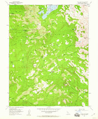
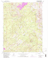
1952 Map of Loon Lake
USGS Topo · Published 1960About this map
El Dorado National Forest serves as the backdrop for this mid-century survey of the high Sierras, documented just before significant hydroelectric modifications altered the local hydrology. Loon Lake and the Rubicon River anchor a landscape defined by seasonal ranching and early mountain recreation. Remote outposts like the Schlein Ranger Sta and Francis Cow Camp reflect a time when land management and cattle grazing were the primary human activities in these upper elevations.
Find a feature on this map
41 named features on this map. Tap any name to fly to it.
Don’t see what you’re looking for? This feature index may not catch every label — zoom into the map to look around manually.
Map Details
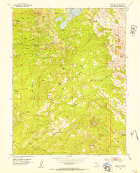
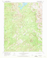
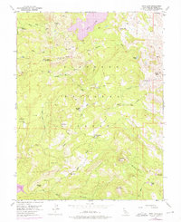
Editions of this 1952 Loon Lake Map
6 editions found
Other maps of this area

1889 · Pyramid Peak
USGS Topo · 1:125,000

1891 · Truckee
USGS Topo · 1:125,000

1891 · Pyramid Peak
USGS Topo · 1:125,000

1893 · Truckee
USGS Topo · 1:125,000

1895 · Pyramid Peak
USGS Topo · 1:125,000

1895 · Truckee
USGS Topo · 1:125,000

1896 · Pyramid Peak
USGS Topo · 1:125,000

1932 · Truckee
USGS Topo · 1:96,000

1940 · Truckee
USGS Topo · 1:125,000

1947 · Sacramento
USGS Topo · 1:250,000