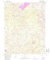
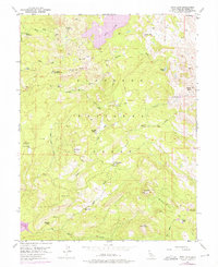
1952 Map of Loon Lake
USGS Topo · Published 1988About this map
Eldorado National Forest encompasses this high-elevation landscape, where the 1950s terrain is defined by a network of seasonal camps and ranching outposts. The map documents working landmarks like Francis Cow Camp and the Van Vleck Ranch, alongside government infrastructure such as the Schlein Ranger Sta. These remote sites are connected by a system of primitive routes including a Jeep Trail and the Highland Trail, reflecting an era before modern paved access transformed the backcountry.
Find a feature on this map
49 named features on this map. Tap any name to fly to it.
Don’t see what you’re looking for? This feature index may not catch every label — zoom into the map to look around manually.
Map Details
Editions of this 1952 Loon Lake Map
6 editions found
Other maps of this area

1889 · Pyramid Peak
USGS Topo · 1:125,000

1891 · Truckee
USGS Topo · 1:125,000

1891 · Pyramid Peak
USGS Topo · 1:125,000

1893 · Truckee
USGS Topo · 1:125,000

1895 · Pyramid Peak
USGS Topo · 1:125,000

1895 · Truckee
USGS Topo · 1:125,000

1896 · Pyramid Peak
USGS Topo · 1:125,000

1932 · Truckee
USGS Topo · 1:96,000

1940 · Truckee
USGS Topo · 1:125,000

1947 · Sacramento
USGS Topo · 1:250,000