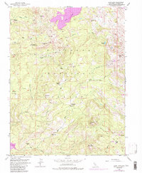
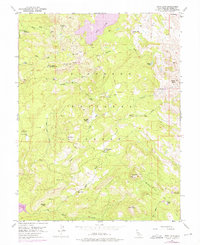
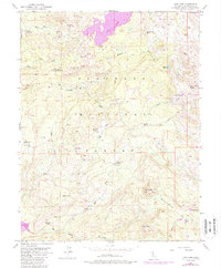
1952 Map of Loon Lake
USGS Topo · Published 1988About this map
Eldorado National Forest defines this high-elevation landscape, where the granite peaks and glacial basins of the Sierra Nevada meet historic cattle camps and remote outposts. The prominent Loon Lake and the South Fork Rubicon River dominate the northern terrain, while the southern reaches descend toward Big Silver Creek and the early footprint of the Union Valley Res. Scattered throughout this wilderness are legacy ranching and ranger sites like the Van Vleck Ranch, Upper Bassi Ranch, and the Schlein Ranger Sta. High-country landmarks such as Tells Peak and the curious Poison Hole serve as navigational markers across a network of primitive jeep trails. The inclusion of the Landing Strip and remote cabins like Rupley Cabin highlights the area's mid-century utility for both forestry management and backcountry recreation.
Find a feature on this map
41 named features on this map. Tap any name to fly to it.
Don’t see what you’re looking for? This feature index may not catch every label — zoom into the map to look around manually.
Map Details
Editions of this 1952 Loon Lake Map
6 editions found
Other maps of this area

1889 · Pyramid Peak
USGS Topo · 1:125,000

1891 · Truckee
USGS Topo · 1:125,000

1891 · Pyramid Peak
USGS Topo · 1:125,000

1893 · Truckee
USGS Topo · 1:125,000

1895 · Pyramid Peak
USGS Topo · 1:125,000

1895 · Truckee
USGS Topo · 1:125,000

1896 · Pyramid Peak
USGS Topo · 1:125,000

1932 · Truckee
USGS Topo · 1:96,000

1940 · Truckee
USGS Topo · 1:125,000

1947 · Sacramento
USGS Topo · 1:250,000