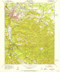
1953 Map of Los Gatos
USGS Topo · Published 1955About this map
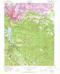
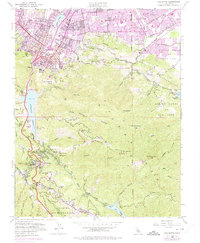
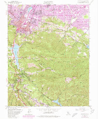
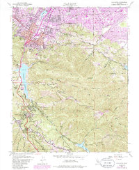
The town of Los Gatos stands at the transition from the Santa Clara Valley floor into the steep canyons of the Santa Cruz Mountains during the early 1950s. The landscape is defined by its water infrastructure, including the Vasona Reservoir and the recently completed Lexington Reservoir, which flooded several earlier transit routes. Moving south into the highlands, the map documents a series of mountain communities such as Holy City, Redwood Estates, and Aldercroft Heights along the Old Santa Cruz Road.
Find a feature on this map
62 named features on this map. Tap any name to fly to it.
Don’t see what you’re looking for? This feature index may not catch every label — zoom into the map to look around manually.
Map Details
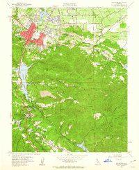
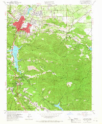
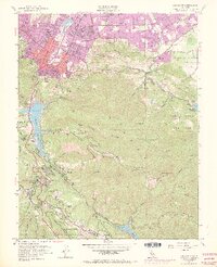
Editions of this 1953 Los Gatos Map
8 editions found
Other maps of this area

1889 · San Jose
USGS Topo · 1:62,500

1897 · San Jose
USGS Topo · 1:62,500

1897 · Palo Alto
USGS Topo · 1:62,500

1899 · San Jose
USGS Topo · 1:62,500

1899 · Palo Alto
USGS Topo · 1:62,500

1902 · Santa Cruz
USGS Topo · 1:125,000

1916 · New Almaden
USGS Topo · 1:48,000

1919 · New Almaden
USGS Topo · 1:62,500

1940 · Los Gatos
USGS Topo · 1:62,500

1941 · Palo Alto
USGS Topo · 1:62,500