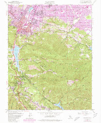
1953 Map of Los Gatos
USGS Topo · Published 1980About this map
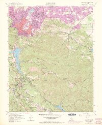
Los Gatos and the surrounding Santa Cruz Mountains foothills are captured in this 1953 survey, updated with 1980 urban expansions. The map illustrates a landscape transitioning from the agricultural and mining roots of the early twentieth century toward suburban density. To the south, the mountain communities of Holy City, Chemeketa Park, and Redwood Estates follow the winding geography of Los Gatos Creek and the Lexington Reservoir. Evidence of the area's industrial past remains visible through the Limestone Quarries and several historic mining sites including the Guadalupe Mines and Senator Mine situated in the Rancho Cañada de los Capitancillos. Educational and religious institutions are particularly prominent, with several locations such as the Novitiate, Alma College, and numerous district schools like Union District School serving the growing population centers of Monte Sereno and Saratoga. The terrain is defined by significant peaks including Mt Umunhum and Mt Thayer, which overlook the complex network of canyons and gulches that feed into the Guadalupe River system.
Find a feature on this map
66 named features on this map. Tap any name to fly to it.
Don’t see what you’re looking for? This feature index may not catch every label — zoom into the map to look around manually.
Map Details
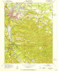
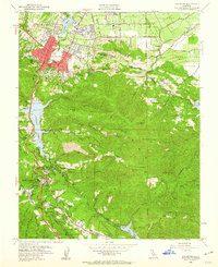
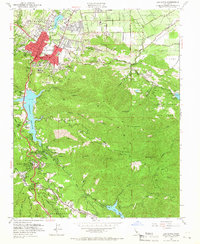
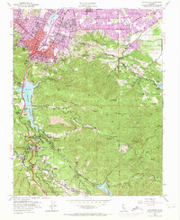
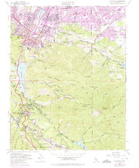
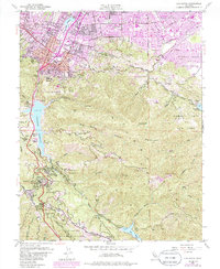
Editions of this 1953 Los Gatos Map
8 editions found
Other maps of this area

1889 · San Jose
USGS Topo · 1:62,500

1897 · San Jose
USGS Topo · 1:62,500

1897 · Palo Alto
USGS Topo · 1:62,500

1899 · San Jose
USGS Topo · 1:62,500

1899 · Palo Alto
USGS Topo · 1:62,500

1902 · Santa Cruz
USGS Topo · 1:125,000

1916 · New Almaden
USGS Topo · 1:48,000

1919 · New Almaden
USGS Topo · 1:62,500

1940 · Los Gatos
USGS Topo · 1:62,500

1941 · Palo Alto
USGS Topo · 1:62,500