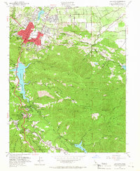
1953 Map of Los Gatos
USGS Topo · Published 1966About this map
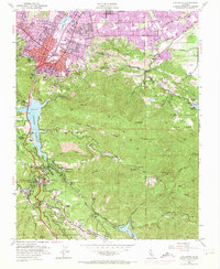
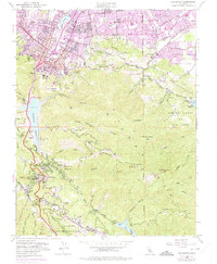
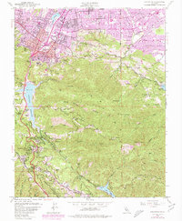
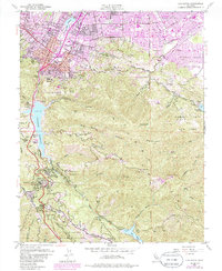
Los Gatos sits at the foot of the Santa Cruz Mts, serving as a gateway between the developing valley and the steep, wooded canyons to the south. The 1950s landscape is defined by the massive engineering of the Lexington Reservoir, which had recently reshaped the geography of the local watershed. This period of change is evident in the presence of Wrights (Site), a former railway stop and settlement that by this time was already being overtaken by new infrastructure and reforestation. The Southern Pacific railroad remains a critical corridor, cutting through the town center and heading south into the hills.
Find a feature on this map
64 named features on this map. Tap any name to fly to it.
Don’t see what you’re looking for? This feature index may not catch every label — zoom into the map to look around manually.
Map Details
Editions of this 1953 Los Gatos Map
8 editions found
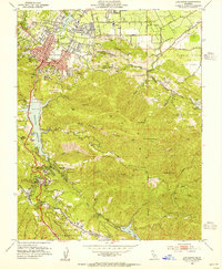
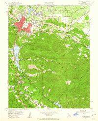
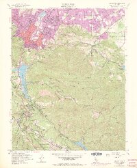
Other maps of this area

1889 · San Jose
USGS Topo · 1:62,500

1897 · San Jose
USGS Topo · 1:62,500

1897 · Palo Alto
USGS Topo · 1:62,500

1899 · San Jose
USGS Topo · 1:62,500

1899 · Palo Alto
USGS Topo · 1:62,500

1902 · Santa Cruz
USGS Topo · 1:125,000

1916 · New Almaden
USGS Topo · 1:48,000

1919 · New Almaden
USGS Topo · 1:62,500

1940 · Los Gatos
USGS Topo · 1:62,500

1941 · Palo Alto
USGS Topo · 1:62,500