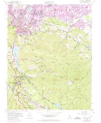
1953 Map of Los Gatos
USGS Topo · Published 1975About this map
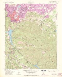
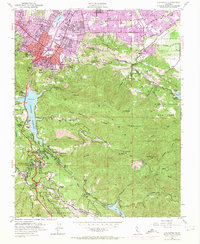
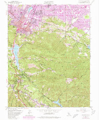
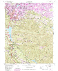
Monte Sereno and the expanding suburbs of southern Santa Clara County transition into the steep drainages of the Santa Cruz Mountains on this mid-century survey. While the northern portion shows the rapid growth of Los Gatos and the emergence of numerous educational institutions like Leigh High Sch and Dartmouth Sch, the southern terrain remains dominated by narrow canyons and isolated communities. The map documents the footprint of the Lexington Reservoir and its Lexington Dam, which submerged older sites in the canyon.
Find a feature on this map
99 named features on this map. Tap any name to fly to it.
Don’t see what you’re looking for? This feature index may not catch every label — zoom into the map to look around manually.
Map Details
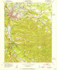
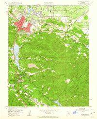
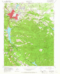
Editions of this 1953 Los Gatos Map
8 editions found
Other maps of this area

1889 · San Jose
USGS Topo · 1:62,500

1897 · San Jose
USGS Topo · 1:62,500

1897 · Palo Alto
USGS Topo · 1:62,500

1899 · San Jose
USGS Topo · 1:62,500

1899 · Palo Alto
USGS Topo · 1:62,500

1902 · Santa Cruz
USGS Topo · 1:125,000

1916 · New Almaden
USGS Topo · 1:48,000

1919 · New Almaden
USGS Topo · 1:62,500

1940 · Los Gatos
USGS Topo · 1:62,500

1941 · Palo Alto
USGS Topo · 1:62,500