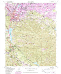
1953 Map of Los Gatos
USGS Topo · Published 1985About this map
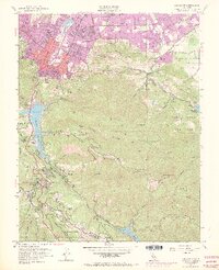
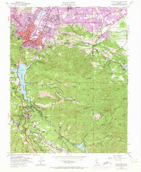
Monte Sereno and Los Gatos are shown in a transitional phase of suburban growth, with purple-tinted areas indicating urban expansion into the foothills of the Santa Cruz Mountains. While the northern reaches show developing residential tracts and numerous schools like Union District School and Leigh High Sch, the southern terrain remains defined by steep canyons and isolated mountain communities. Notable settlements such as Redwood Estates, Chemeketa Park, and Holy City line the winding corridor south of the Lexington Reservoir, illustrating the era's complex topography of the coastal range.
Find a feature on this map
71 named features on this map. Tap any name to fly to it.
Don’t see what you’re looking for? This feature index may not catch every label — zoom into the map to look around manually.
Map Details
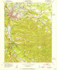
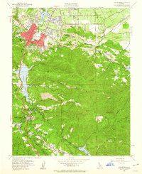
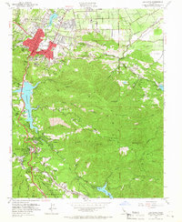
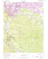
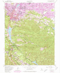
Editions of this 1953 Los Gatos Map
8 editions found
Other maps of this area

1889 · San Jose
USGS Topo · 1:62,500

1897 · San Jose
USGS Topo · 1:62,500

1897 · Palo Alto
USGS Topo · 1:62,500

1899 · San Jose
USGS Topo · 1:62,500

1899 · Palo Alto
USGS Topo · 1:62,500

1902 · Santa Cruz
USGS Topo · 1:125,000

1916 · New Almaden
USGS Topo · 1:48,000

1919 · New Almaden
USGS Topo · 1:62,500

1940 · Los Gatos
USGS Topo · 1:62,500

1941 · Palo Alto
USGS Topo · 1:62,500