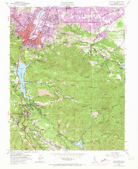
1953 Map of Los Gatos
USGS Topo · Published 1973About this map
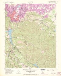
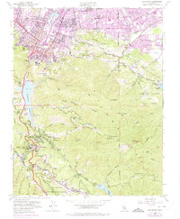
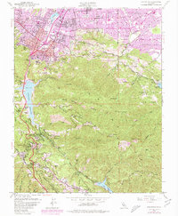
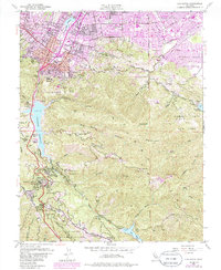
Los Gatos and the northern slopes of the Santa Cruz Mountains appear here in a period of rapid mid-century expansion. The map details the transition from the concentrated town center and historic Rancho Rinconada de Los Gatos lands toward the rising suburban developments of Monte Sereno and San Jose. The landscape is a complex mix of orchards, institutions like the Novitiate, and legacy resource extraction, including Limestone Quarries and the storied Guadalupe Mines and Senator Mine on Capitancillos Ridge.
Find a feature on this map
84 named features on this map. Tap any name to fly to it.
Don’t see what you’re looking for? This feature index may not catch every label — zoom into the map to look around manually.
Map Details
Editions of this 1953 Los Gatos Map
8 editions found
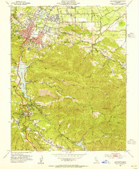
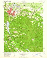
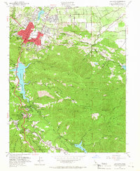
Other maps of this area

1889 · San Jose
USGS Topo · 1:62,500

1897 · San Jose
USGS Topo · 1:62,500

1897 · Palo Alto
USGS Topo · 1:62,500

1899 · San Jose
USGS Topo · 1:62,500

1899 · Palo Alto
USGS Topo · 1:62,500

1902 · Santa Cruz
USGS Topo · 1:125,000

1916 · New Almaden
USGS Topo · 1:48,000

1919 · New Almaden
USGS Topo · 1:62,500

1940 · Los Gatos
USGS Topo · 1:62,500

1941 · Palo Alto
USGS Topo · 1:62,500