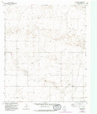
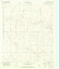
1970 Map of Lost Draw
USGS Topo · Published 1995About this map
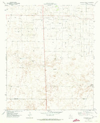
Lost Draw winds through the high plains of West Texas, anchoring a landscape shaped by both seasonal water and industrial extraction. In this survey from the early 1970s, the terrain is marked by the infrastructure of the energy sector, featuring a network of pipelines, numerous drill holes, and an oil well. The presence of the Pumping Sta and various gravel pits suggests an active local economy centered on the resources of the Llano Estacado.
Find a feature on this map
8 named features on this map. Tap any name to fly to it.
Don’t see what you’re looking for? This feature index may not catch every label — zoom into the map to look around manually.
Map Details
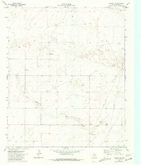
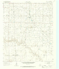
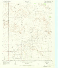
Editions of this 1970 Lost Draw Map
3 editions found
Other maps of this area

1954 · Brownfield
USGS Topo · 1:250,000

1958 · Brownfield
USGS Topo · 1:250,000

1962 · Brownfield
USGS Topo · 1:250,000
1965 · Plains 1 NE
USGS Topo · 1:24,000
1969 · Plains 1 SE
USGS Topo · 1:24,000
1970 · Plains 1 SW
USGS Topo · 1:24,000
1970 · Tokio
USGS Topo · 1:24,000
1970 · Tokio NW
USGS Topo · 1:24,000
1970 · Plains 1 NW
USGS Topo · 1:24,000
1971 · Schooler Ranch
USGS Topo · 1:24,000