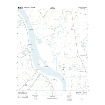
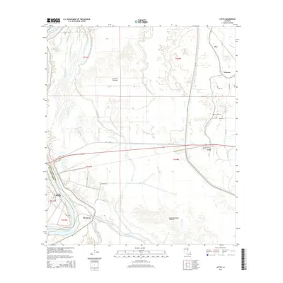
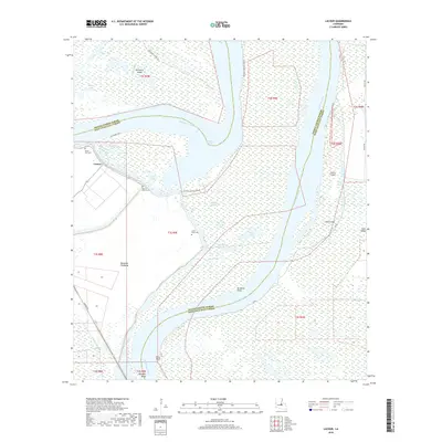
2024 Map of Lottie
USGS Topo · Published 2024About this map
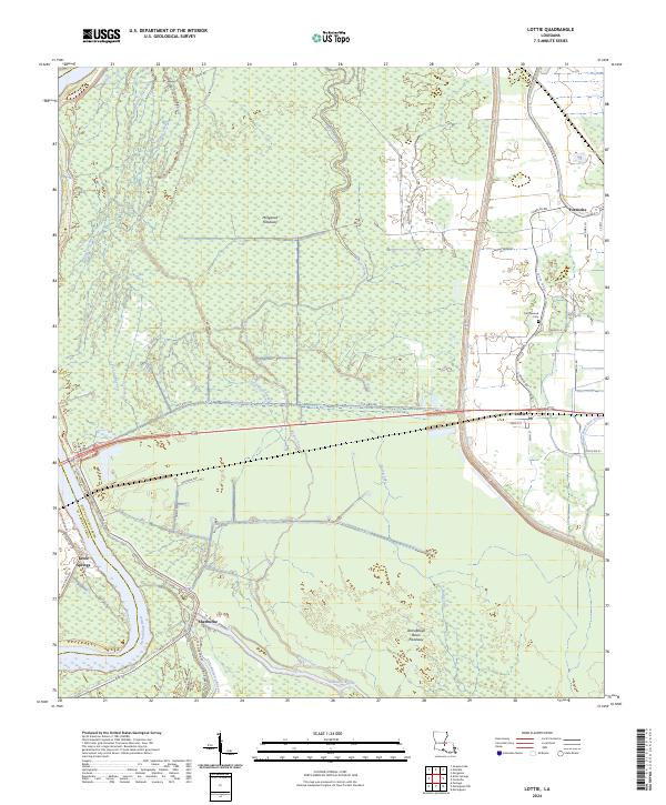
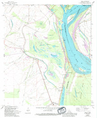
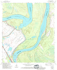
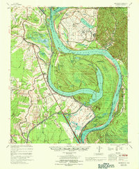
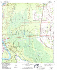
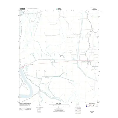
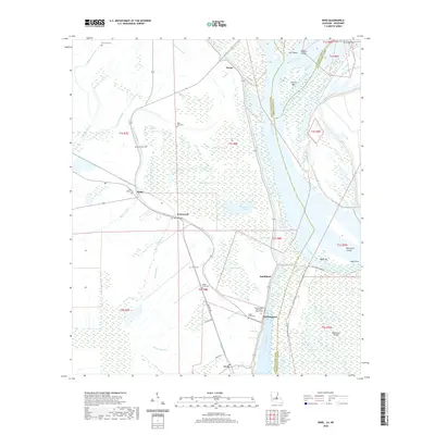
The Morganza Floodway and Atchafalaya Basin Floodway dominate this portion of Pointe Coupee Parish, illustrating the massive hydrological infrastructure required to manage the southern Mississippi River drainage. Settlements like Lottie and Fordoche are clustered along the eastern margin, positioned on higher ground away from the spillway zones. These communities are linked by local roads such as Charles Rd and Fordoche Rd, while the western edge of the map shows Krotz Springs situated where the Atchafalaya River forms the boundary with St. Landry Parish.
Find a feature on this map
45 named features on this map. Tap any name to fly to it.
Don’t see what you’re looking for? This feature index may not catch every label — zoom into the map to look around manually.
Map Details
Editions of this 2024 Lottie Map
This is the sole edition of this map. No revisions or reprints were ever made.
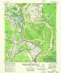
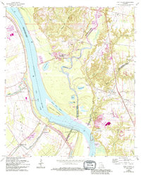
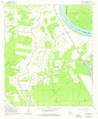
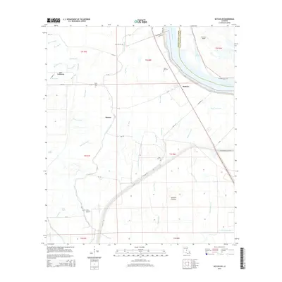
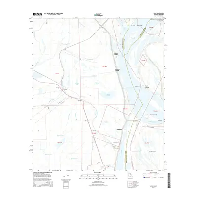
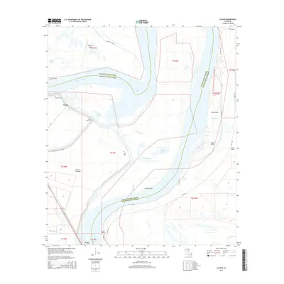
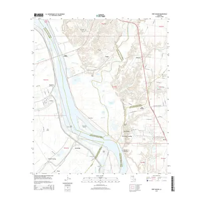
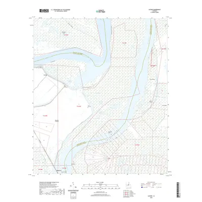
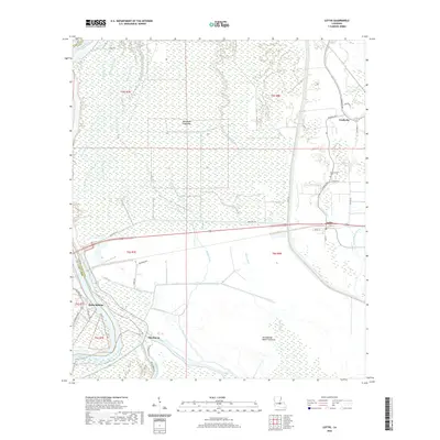
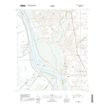
Historical Maps of Krotz Springs Through Time
34 maps found

1941 Batchelor
Pointe Coupee Parish, LA

1954 Port Hudson
Pointe Coupee Parish, LA
1955 Batchelor
Pointe Coupee Parish, LA
1963 Port Hudson
Pointe Coupee Parish, LA
1965 Batchelor
Pointe Coupee Parish, LA
1965 Innis
Pointe Coupee Parish, LA
1965 Lacour
Pointe Coupee Parish, LA
1967 Batchelor
Pointe Coupee Parish, LA
1968 Lottie
Pointe Coupee Parish, LA
2012 Batchelor
Pointe Coupee Parish, LA
2012 Innis
Pointe Coupee Parish, LA
2012 Lacour
Pointe Coupee Parish, LA
2012 Lottie
Pointe Coupee Parish, LA
2012 Port Hudson
Pointe Coupee Parish, LA
2015 Batchelor
Pointe Coupee Parish, LA
2015 Innis
Pointe Coupee Parish, LA
2015 Lacour
Pointe Coupee Parish, LA
2015 Lottie
Pointe Coupee Parish, LA
2015 Port Hudson
Pointe Coupee Parish, LA
2018 Batchelor
Pointe Coupee Parish, LA
2018 Innis
Pointe Coupee Parish, LA
2018 Lacour
Pointe Coupee Parish, LA
2018 Lottie
Pointe Coupee Parish, LA
2018 Port Hudson
Pointe Coupee Parish, LA
2020 Batchelor
Pointe Coupee Parish, LA
2020 Innis
Pointe Coupee Parish, LA
2020 Lacour
Pointe Coupee Parish, LA
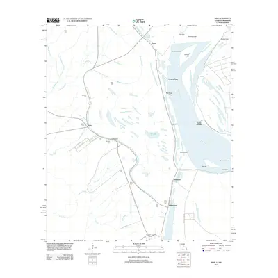
2020 Lottie
Pointe Coupee Parish, LA
2020 Port Hudson
Pointe Coupee Parish, LA
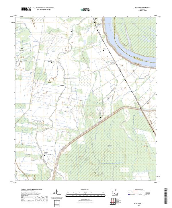
2024 Batchelor
Pointe Coupee Parish, LA
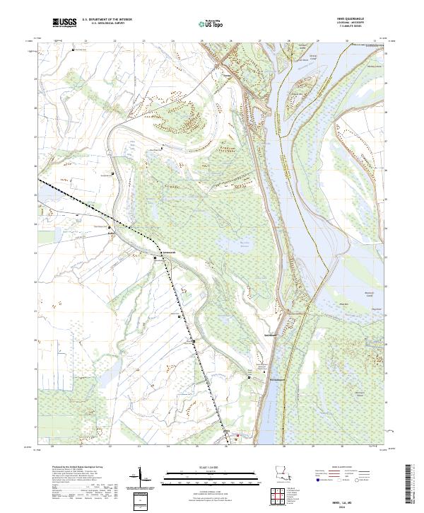
2024 Innis
Pointe Coupee Parish, LA
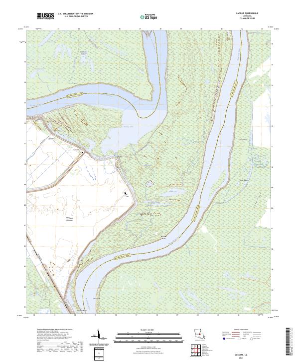
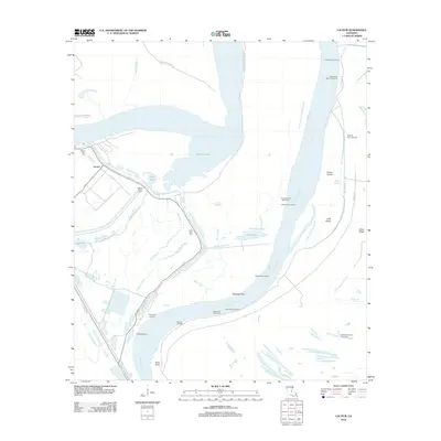
2024 Lacour
Pointe Coupee Parish, LA
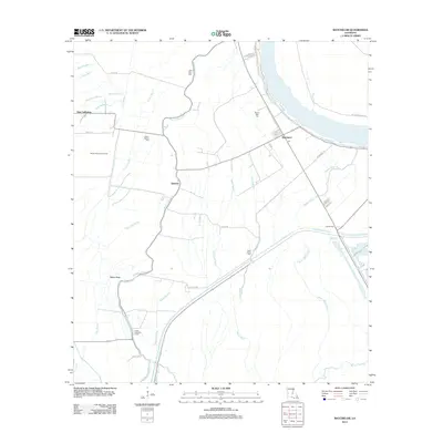
2024 Lottie
Pointe Coupee Parish, LA
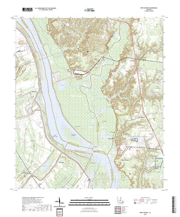
2024 Port Hudson
Pointe Coupee Parish, LA