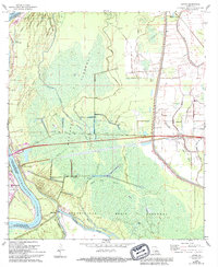
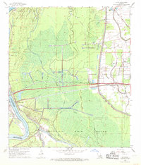
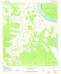
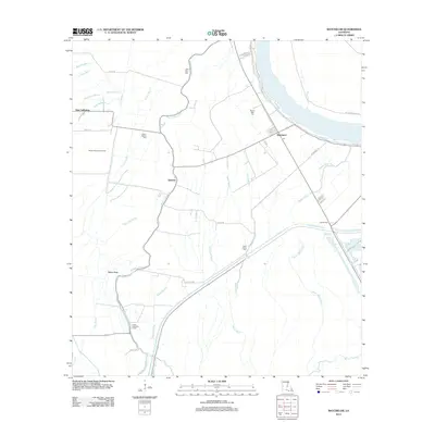
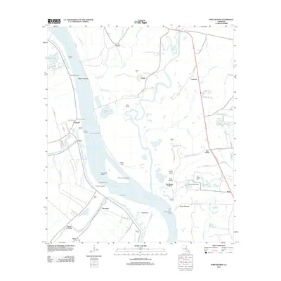
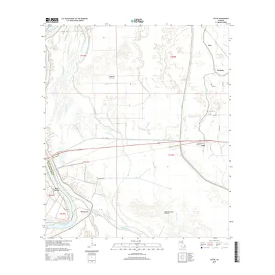
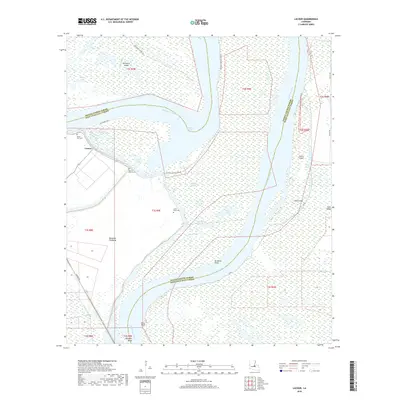
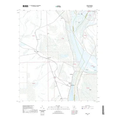
1968 Map of Lottie
USGS Topo · Published 1994About this map
The Atchafalaya River winds along the western boundary of this territory, where the complex hydrology of the Atchafalaya Basin Floodway and Morganza Floodway dominates the landscape. During the late 1960s, this area of Pointe Coupee Parish was defined by its extensive network of watercourses, including Bayou Latenache, Bayou Fordoche, and Bayou Alabama. The economy is clearly centered on resource extraction, as evidenced by the sprawling Lottie Oil and Gas Field, Fordoche Oil and Gas Field, and Sherburne Gas and Oil Field.
Find a feature on this map
42 named features on this map. Tap any name to fly to it.
Don’t see what you’re looking for? This feature index may not catch every label — zoom into the map to look around manually.
Map Details
Editions of this 1968 Lottie Map
2 editions found
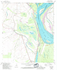
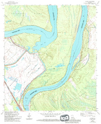
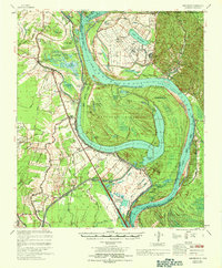
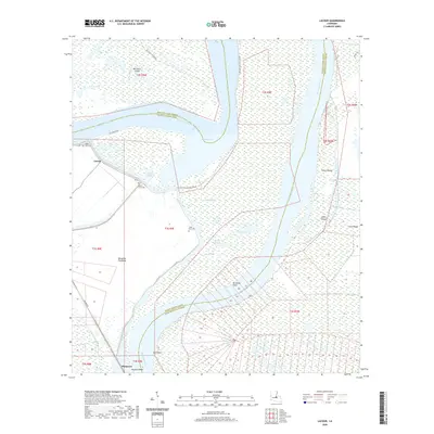
Historical Maps of Krotz Springs Through Time
34 maps found

1941 Batchelor
Pointe Coupee Parish, LA

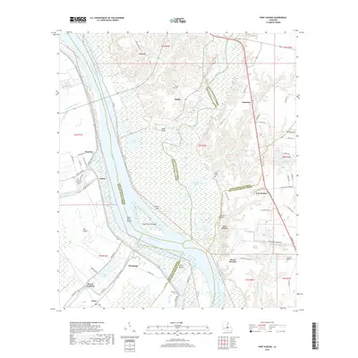
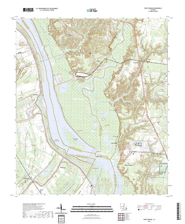
1954 Port Hudson
Pointe Coupee Parish, LA
1955 Batchelor
Pointe Coupee Parish, LA
1963 Port Hudson
Pointe Coupee Parish, LA
1965 Batchelor
Pointe Coupee Parish, LA
1965 Innis
Pointe Coupee Parish, LA
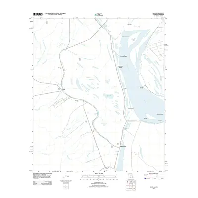
1965 Lacour
Pointe Coupee Parish, LA
1967 Batchelor
Pointe Coupee Parish, LA
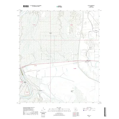
1968 Lottie
Pointe Coupee Parish, LA
2012 Batchelor
Pointe Coupee Parish, LA
2012 Innis
Pointe Coupee Parish, LA
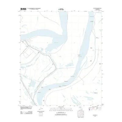
2012 Lacour
Pointe Coupee Parish, LA
2012 Lottie
Pointe Coupee Parish, LA
2012 Port Hudson
Pointe Coupee Parish, LA
2015 Batchelor
Pointe Coupee Parish, LA
2015 Innis
Pointe Coupee Parish, LA
2015 Lacour
Pointe Coupee Parish, LA
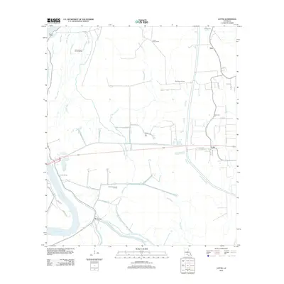
2015 Lottie
Pointe Coupee Parish, LA
2015 Port Hudson
Pointe Coupee Parish, LA
2018 Batchelor
Pointe Coupee Parish, LA
2018 Innis
Pointe Coupee Parish, LA
2018 Lacour
Pointe Coupee Parish, LA
2018 Lottie
Pointe Coupee Parish, LA
2018 Port Hudson
Pointe Coupee Parish, LA
2020 Batchelor
Pointe Coupee Parish, LA
2020 Innis
Pointe Coupee Parish, LA
2020 Lacour
Pointe Coupee Parish, LA
2020 Lottie
Pointe Coupee Parish, LA
2020 Port Hudson
Pointe Coupee Parish, LA
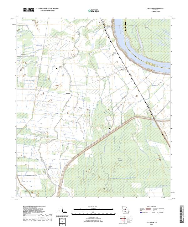
2024 Batchelor
Pointe Coupee Parish, LA
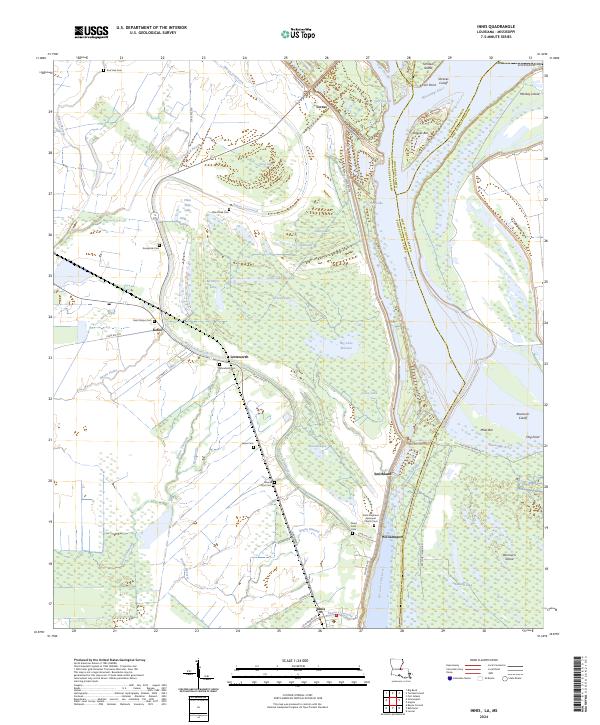
2024 Innis
Pointe Coupee Parish, LA
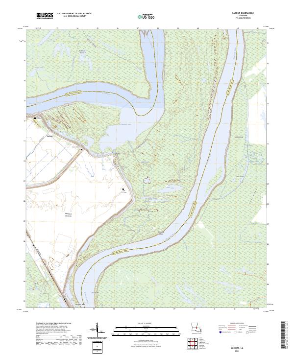
2024 Lacour
Pointe Coupee Parish, LA
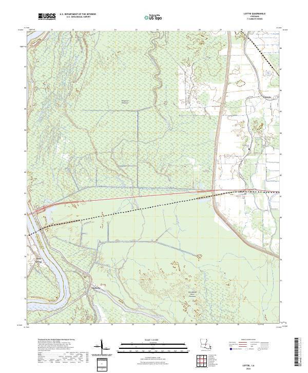
2024 Lottie
Pointe Coupee Parish, LA
2024 Port Hudson
Pointe Coupee Parish, LA