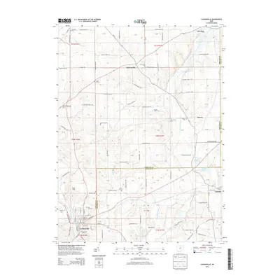
2013 Map of Loudonville
USGS Topo · Published 2013About this map
The Black Fork Mohican River and Lake Fork Mohican River converge near the southern border of this map, framing the historic village of Loudonville. As a primary hub for this portion of Ashland County, the village layout reveals its municipal core with Saint Peters Cem and the Loudonville Cem marking its perimeter. To the north, the landscape transitions into a series of smaller agricultural settlements including Mohicanville, McZena, and Lakeville, each tied together by a dense network of township roads. Genealogists will find a wealth of burial sites across the township lines, from the Old Sixteen Cem to the Pioneer Cem and the McKay Cem. Notable local landmarks such as Bald Knob and Nesta Airport punctuate the terrain, while the Mohicanville Reservoir and smaller bodies like Round Lake and Bonnett Lake emphasize the region's complex hydrology.
Find a feature on this map
130 named features on this map. Tap any name to fly to it.
Don’t see what you’re looking for? This feature index may not catch every label — zoom into the map to look around manually.
Map Details
Editions of this 2013 Loudonville Map
This is the sole edition of this map. No revisions or reprints were ever made.
Other maps of this area

1906 · West Salem
USGS Topo · 1:62,500

1908 · Ashland
USGS Topo · 1:62,500

1908 · West Salem
USGS Topo · 1:62,500

1912 · Loudonville
USGS Topo · 1:62,500

1912 · Perrysville
USGS Topo · 1:62,500

1914 · Loudonville
USGS Topo · 1:62,500

1915 · Perrysville
USGS Topo · 1:62,500

1943 · Loudonville
USGS Topo · 1:62,500

1944 · Perrysville
USGS Topo · 1:62,500

1950 · Marion
USGS Topo · 1:250,000