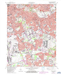
1982 Map of Louisville East
USGS Topo · Published 1987About this map
Cherokee Park and the expansive grounds of Cave Hill Cemetery anchor the landscape of Eastern Louisville during the late twentieth century. This era shows the dense suburbanization of Jefferson County, where residential enclaves like Audubon Park and Seneca Gardens are woven between major transit corridors. The Watterson Expressway serves as a primary artery, connecting established neighborhoods like German Town and Camp Taylor to the growing commercial hubs of St Matthews and Buechel.
Find a feature on this map
99 named features on this map. Tap any name to fly to it.
Don’t see what you’re looking for? This feature index may not catch every label — zoom into the map to look around manually.
Map Details
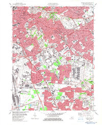
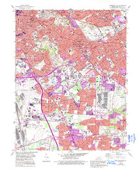
Editions of this 1982 Louisville East Map
3 editions found
Other maps of this area

1905 · Prospect
USGS Topo · 1:62,500

1907 · Louisville
USGS Topo · 1:62,500

1909 · Kosmosdale
USGS Topo · 1:48,000

1912 · Prospect
USGS Topo · 1:62,500

1912 · Kosmosdale
USGS Topo · 1:62,500

1937 · Jeffersonville
USGS Topo · 1:24,000

1939 · New Albany
USGS Topo · 1:24,000

1946 · Jeffersonville
USGS Topo · 1:24,000

1946 · New Albany
USGS Topo · 1:24,000
1950 · New Albany
USGS Topo · 1:24,000