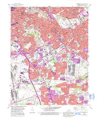
1982 Map of Louisville East
USGS Topo · Published 1995About this map
Louisville and its eastern suburbs are documented here during a period of significant suburban expansion and infrastructure development in the early 1980s. The landscape is defined by the transition from the dense urban grid of German Town to the mid-century planned communities of Audubon Park and Seneca Gardens. The presence of major transportation hubs like Standiford Field and Bowman Field, alongside the Watterson Expressway, illustrates the city's mid-to-late 20th-century reliance on automotive and air transit.
Find a feature on this map
148 named features on this map. Tap any name to fly to it.
Don’t see what you’re looking for? This feature index may not catch every label — zoom into the map to look around manually.
Map Details
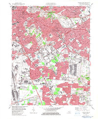
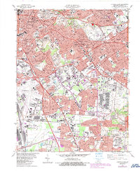
Editions of this 1982 Louisville East Map
3 editions found
Other maps of this area

1905 · Prospect
USGS Topo · 1:62,500

1907 · Louisville
USGS Topo · 1:62,500

1909 · Kosmosdale
USGS Topo · 1:48,000

1912 · Prospect
USGS Topo · 1:62,500

1912 · Kosmosdale
USGS Topo · 1:62,500

1937 · Jeffersonville
USGS Topo · 1:24,000

1939 · New Albany
USGS Topo · 1:24,000

1946 · Jeffersonville
USGS Topo · 1:24,000

1946 · New Albany
USGS Topo · 1:24,000
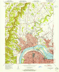
1950 · New Albany
USGS Topo · 1:24,000