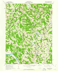
1961 Map of Lower Salem
USGS Topo · Published 1963About this map
The Pennsylvania railroad winds through the narrow valleys of Washington County, following the course of West Fork Duck Creek past the riverside communities of Warner and Lower Salem. This early 1960s survey illustrates a landscape defined by sharp ridges and deep hollows, where hilltop roads connect local landmarks like Smith Ridge Ch and Hill Grove Ch. Along the southwestern edge, the Muskingum River provides a vital corridor for the Baltimore and Ohio line.
Find a feature on this map
42 named features on this map. Tap any name to fly to it.
Don’t see what you’re looking for? This feature index may not catch every label — zoom into the map to look around manually.
Map Details
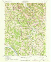
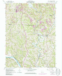
Editions of this 1961 Lower Salem Map
3 editions found
Other maps of this area

1902 · Parkersburg
USGS Topo · 1:62,500

1903 · Macksburg
USGS Topo · 1:62,500

1904 · Parkersburg
USGS Topo · 1:62,500

1904 · Marietta
USGS Topo · 1:62,500

1905 · Macksburg
USGS Topo · 1:62,500

1909 · Caldwell
USGS Topo · 1:62,500

1912 · Caldwell
USGS Topo · 1:62,500

1924 · Marietta
USGS Topo · 1:62,500

1927 · Marietta
USGS Topo · 1:62,500

1949 · Clarksburg
USGS Topo · 1:250,000