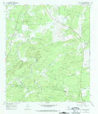
1967 Map of Loyal Valley
USGS Topo · Published 1970About this map
Loyal Valley and the small settlement of Hilda anchor this 1967 survey of the Texas Hill Country, a landscape defined by its network of seasonal waterways and family-named landmarks. The terrain transitions from the heights of Loyal Mountain and Mason Mountain down toward the winding course of Beaver Creek. The map documents a rural way of life where roads were punctuated by a Ford and pipelines began to cross the traditional ranching boundaries. Local genealogy is well-represented through the presence of the Ellerbracht Cem and Kothe Cem, alongside a country Church near Hilda. The intricate drainage patterns of Threadgill Creek and Birdsong Creek illustrate the erosion-carved geology of the region, while landmarks like Flathead Point and Meusebach Mountain provide distinct navigational markers for researchers tracing early Texas land grants and settlement patterns.
Find a feature on this map
38 named features on this map. Tap any name to fly to it.
Don’t see what you’re looking for? This feature index may not catch every label — zoom into the map to look around manually.
Map Details
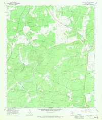
Editions of this 1967 Loyal Valley Map
2 editions found
Other maps of this area

1887 · Llano
USGS Topo · 1:125,000

1887 · Mason
USGS Topo · 1:125,000

1894 · Mason
USGS Topo · 1:125,000

1894 · Fredericksburg
USGS Topo · 1:125,000

1894 · Kerrville
USGS Topo · 1:125,000

1894 · Llano
USGS Topo · 1:125,000

1904 · Llano
USGS Topo · 1:125,000

1909 · Llano
USGS Topo · 1:125,000

1918 · Llano
USGS Topo · 1:125,000

1954 · Llano
USGS Topo · 1:250,000