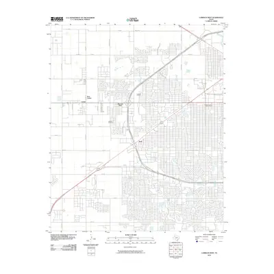
2010 Map of Lubbock West
USGS Topo · Published 2010About this map
Texas Technological University dominates the northeastern corner of this West Texas landscape, showing the university's footprint during a period of significant urban expansion. The surrounding street grid reflects the rapid development of the High Plains, with residential clusters like West End Place and Doud filling in the space between major thoroughfares. The map documents the intricate road network defined by W Loop 289 State Loop 289 and the diagonal sweep of State Spur 327, which together facilitate the flow of traffic around the city's western edge.
Find a feature on this map
36 named features on this map. Tap any name to fly to it.
Don’t see what you’re looking for? This feature index may not catch every label — zoom into the map to look around manually.
Map Details
Editions of this 2010 Lubbock West Map
This is the sole edition of this map. No revisions or reprints were ever made.
Other maps of this area

1954 · Lubbock
USGS Topo · 1:250,000

1954 · Brownfield
USGS Topo · 1:250,000

1956 · Shallowater
USGS Topo · 1:24,000

1956 · New Deal
USGS Topo · 1:24,000

1957 · Lubbock East
USGS Topo · 1:24,000

1957 · New Home
USGS Topo · 1:62,500

1957 · Lubbock West
USGS Topo · 1:24,000

1957 · Lubbock
USGS Topo · 1:62,500

1957 · Meadow
USGS Topo · 1:62,500

1957 · Wolfforth
USGS Topo · 1:62,500