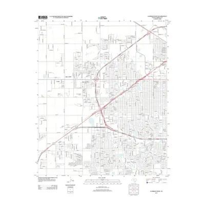
2012 Map of Lubbock West
USGS Topo · Published 2012About this map
Lubbock Christian University and the western expansion of the city dominate this 2012 survey of the Texas High Plains. The landscape transitioned from the established residential blocks of West End Place and Doud into the newer developments of West Carlisle and Carlisle. This era shows a community deeply rooted in its academic and medical institutions, with the Covenant School of Nursing and Allied Health and proximity to Texas Tech University anchoring the local economy. Preservation is evident in the identification of the Holden Properties Historic District and the Texas Technological College Historic District, protecting the architectural legacy of early 20th-century Lubbock. Recreational spaces like the Westlake Golf Course and the grounds of Resthaven Cemetery provide significant green breaks in the dense urban grid of numbered streets and avenues.
Find a feature on this map
129 named features on this map. Tap any name to fly to it.
Don’t see what you’re looking for? This feature index may not catch every label — zoom into the map to look around manually.
Map Details
Editions of this 2012 Lubbock West Map
This is the sole edition of this map. No revisions or reprints were ever made.
Other maps of this area

1954 · Lubbock
USGS Topo · 1:250,000

1954 · Brownfield
USGS Topo · 1:250,000

1956 · Shallowater
USGS Topo · 1:24,000

1956 · New Deal
USGS Topo · 1:24,000

1957 · Lubbock East
USGS Topo · 1:24,000

1957 · New Home
USGS Topo · 1:62,500

1957 · Lubbock West
USGS Topo · 1:24,000

1957 · Lubbock
USGS Topo · 1:62,500

1957 · Meadow
USGS Topo · 1:62,500

1957 · Wolfforth
USGS Topo · 1:62,500