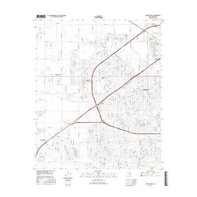
2016 Map of Lubbock West
USGS Topo · Published 2016About this map
Lubbock expands westward across the High Plains in this 2016 survey, showcasing a landscape defined by rapid urbanization and significant academic centers. The map highlights the sprawling campuses of Texas Tech University and Lubbock Christian University, indicating the city's role as a major educational hub. The transition from dense residential blocks to rural sections is visible near Carlisle and West End Place, where the grid of city streets like 19th St meets the outlying agricultural roads.
Find a feature on this map
157 named features on this map. Tap any name to fly to it.
Don’t see what you’re looking for? This feature index may not catch every label — zoom into the map to look around manually.
Map Details
Editions of this 2016 Lubbock West Map
This is the sole edition of this map. No revisions or reprints were ever made.
Other maps of this area

1954 · Lubbock
USGS Topo · 1:250,000

1954 · Brownfield
USGS Topo · 1:250,000

1956 · Shallowater
USGS Topo · 1:24,000

1956 · New Deal
USGS Topo · 1:24,000

1957 · Lubbock East
USGS Topo · 1:24,000

1957 · New Home
USGS Topo · 1:62,500

1957 · Lubbock West
USGS Topo · 1:24,000

1957 · Lubbock
USGS Topo · 1:62,500

1957 · Meadow
USGS Topo · 1:62,500

1957 · Wolfforth
USGS Topo · 1:62,500