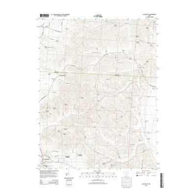
2013 Map of Lucasville
USGS Topo · Published 2013About this map
Lucasville anchors the southern edge of this study where US Highway 23 meets Robert Lucas Rd. The residential expansions of Preston Addition and Tomlison Addition reflect the modern growth of this Scioto County community. The terrain north of town is defined by a dense network of hollows and ridges, including Barker Hollow, Hockenberry Hollow, and Coon Hollow, many of which were historically settled by families who left their names on the land. A high concentration of rural burial grounds, such as Luckett Cem, Harger Cem, and Jacobs Cem, are tucked away in these valleys, offering valuable data for genealogists tracking early residents. The map also records the boundary line between Pike Co and Scioto Co, which runs through the northern reaches near Cockrell Run. To the east, Stockdale Siding and Sand Run suggest the area's historical connection to rail transport and local water resources.
Find a feature on this map
116 named features on this map. Tap any name to fly to it.
Don’t see what you’re looking for? This feature index may not catch every label — zoom into the map to look around manually.
Map Details
Editions of this 2013 Lucasville Map
This is the sole edition of this map. No revisions or reprints were ever made.
Other maps of this area

1906 · Waverly
USGS Topo · 1:62,500

1908 · Waverly
USGS Topo · 1:62,500

1911 · Sciotoville
USGS Topo · 1:62,500

1913 · Sciotoville
USGS Topo · 1:62,500

1915 · Otway
USGS Topo · 1:62,500

1915 · Piketon
USGS Topo · 1:62,500

1917 · Piketon
USGS Topo · 1:62,500

1917 · Otway
USGS Topo · 1:62,500

1944 · Piketon
USGS Topo · 1:62,500

1947 · Columbus
USGS Topo · 1:250,000