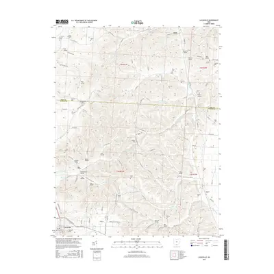
2016 Map of Lucasville
USGS Topo · Published 2016About this map
Lucasville serves as the primary hub at the southern edge of this landscape, situated along the Norfolk Southern rail line. The settlement is defined by established landmarks like the Lucasville Post Office and the Old Lucasville Cemetery, which sit near the base of prominent terrain like Haystack Knob. The surrounding territory is carved by a dense network of hollows and runs, reflecting a deeply dissected plateau where family names and local history are etched into the names of watercourses and cemeteries alike.
Find a feature on this map
127 named features on this map. Tap any name to fly to it.
Don’t see what you’re looking for? This feature index may not catch every label — zoom into the map to look around manually.
Map Details
Editions of this 2016 Lucasville Map
This is the sole edition of this map. No revisions or reprints were ever made.
Other maps of this area

1906 · Waverly
USGS Topo · 1:62,500

1908 · Waverly
USGS Topo · 1:62,500

1911 · Sciotoville
USGS Topo · 1:62,500

1913 · Sciotoville
USGS Topo · 1:62,500

1915 · Otway
USGS Topo · 1:62,500

1915 · Piketon
USGS Topo · 1:62,500

1917 · Piketon
USGS Topo · 1:62,500

1917 · Otway
USGS Topo · 1:62,500

1944 · Piketon
USGS Topo · 1:62,500

1947 · Columbus
USGS Topo · 1:250,000